As a GIS professional, who hasn't been driven mad by the manual georeferencing of historical imagery? When rushing to meet project deadlines, the author often had to hunch over the screen, scrutinizing scanned maps for control points — they had to be "timeless" features like road intersections, bridges, or landmark buildings. If the old map was blurry or the landmark had been demolished, it meant digging through archives all over again. Then, switching to ArcGIS, we would painstakingly align points one by one against a reference basemap, manually inputting latitude and longitude coordinates. Each point had to be checked three times, fearing a single entry error could throw the entire map out of alignment. What's even more torturous is that too few control points compromise accuracy, while too many can introduce distortion. And when batch-processing aerial photos? That meant burning the midnight oil in front of the computer, repeating the tedious operations until your fingers trembled.
The scene described by the author is sure to send shivers down the spines of many, a true nightmare. However, in 2026, AI is finally starting to save (or take over the jobs of) GIS drafters. In a previous article, "QGIS Map Georeferencing Tutorial (with AI)", the author introduced an AI georeferencing plugin for QGIS, but its performance was somewhat lacking. Recently, @yaoyao, author of Kongtian Perception, recommended a tool to the author: georeferencer.ai. Let's take a look at it today.

About georeferencer.ai
Georeferencer.ai is an online map georeferencing platform powered by artificial intelligence and computer vision technology. It's not just a simple Web GIS tool; it's an AI engine with "spatial perception" capabilities. Its core logic is very simple: you upload a map image without coordinates, and the AI, through pattern recognition, automatically compares it against a global basemap and completes the georeferencing within seconds.
Portal: https://georeferencer.ai/
Actually, this tool and the auto-georeferencing QGIS plugin introduced earlier are from the same developer, Bunting Labs. The difference is that this tool breaks free from QGIS dependency entirely. It's a purely front-end Web GIS tool; you simply open the website, upload an image, and complete the georeferencing process. It can even export the result as a GeoTiff image.
Manual Georeferencing
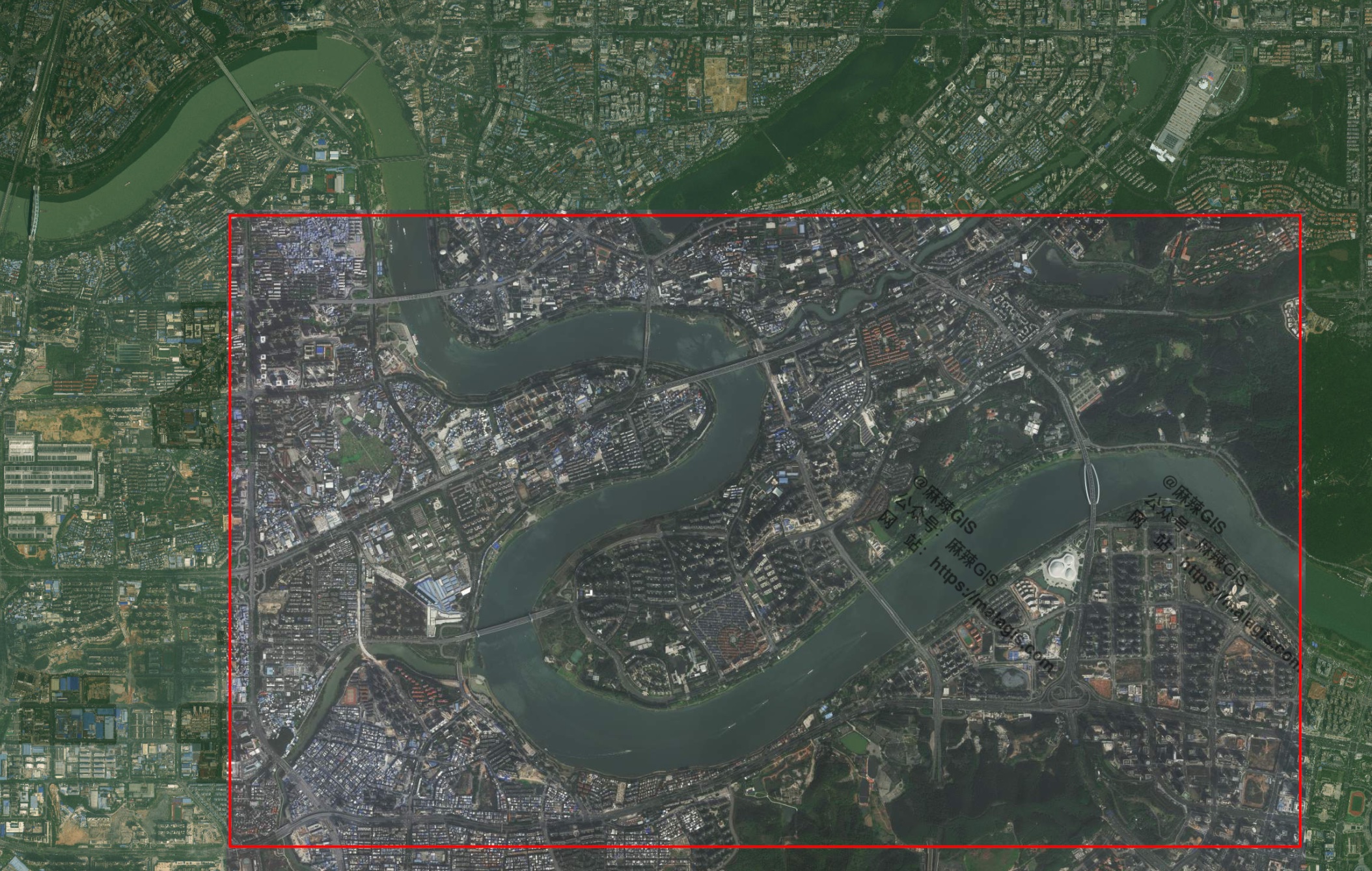
The author uses an image published by Xinhua News Agency from a previous article, "『GIS Data』 Huangyan Dao National Nature Reserve SHP Vector Data Sharing", as an example and uploads it to the platform.

The georeferencing process is no different from that in GIS software like ArcGIS or QGIS: manually inputting control points. You can preview the georeferencing result online and export it.

PS: One significance of this tool is that if you don't have suitable GIS software installed on your computer, you can use it for quick verification or as an emergency solution.
AI Georeferencing
Of course, what we value more is its AI georeferencing functionality. In the previous QGIS plugin, its capability for georeferencing image screenshots was already quite impressive.
A year has passed. What improvements does this new tool have? Regrettably, as of the publication of this article, the author is still waiting for a trial and remains on the waitlist. However, the official has provided a video.
https://www.youtube.com/watch?v=fAljk4l4FzI
Users simply drag and drop the map image into the Georeferencer.ai prototype tool interface and click the "Start Georeferencing" button to initiate the AI system.

The system performs automatic recognition based on terrain structures, coordinate markings, and place names on the map. This means it matches not only by shape but also by identifying maps containing clear topographic features, coordinate annotations, and geographic name clues for automatic alignment. The entire process takes less than 10 seconds.

Currently, the AI automated georeferencing feature is still under development, but the author finds it highly promising. The author will share test results as soon as access from the waitlist is granted.
Conclusion
Although the author has been waiting for a trial spot for quite some time, good things are worth waiting for. From a developmental perspective, AI-powered automatic vectorization and map georeferencing are no longer distant prospects. The leap from 0 to 1 has been made; what follows is continuous refinement and optimization. Many people worry that AI will put GIS cartographers out of work. However, the author believes that AI will liberate the vast number of mappers from the high risks of severe nearsightedness and repetitive strain injuries like tendinitis, which would be a tremendous blessing. This kind of work should be handed over to machines anyway....
Finally, and most importantly: Classified information must not be connected to the internet, and the internet must not involve classified information!! Sensitive data must absolutely not be uploaded to such platforms, especially foreign ones!!