
 GIS Talks
A Technical Breakdown of Tianditu's "Map the Long March Route" Thematic Map
Technical breakdown of Tianditu's interactive "Map the Long March Route" thematic web map.
GIS Talks
Technical breakdown of Tianditu's interactive "Map the Long March Route" thematic web map.
 GIS Talks
How AI-powered vulnerability scanning is triggering a wave of security advisories across WebGIS and server stacks.
 GIS Talks
How many decimal places do GIS latitude/longitude coordinates actually need? A practical precision vs. accuracy guide.
 GIS Talks
How Android smartphones formed a crowdsourced global earthquake early warning network during Venezuela's twin quakes.
 GIS Talks
Celebrate 20 years of Google Earth and trace how it brought 3D geospatial visualization to billions of users.
 GIS Talks
Real-world lessons on adapting enterprise WebGIS layouts for foldable smartphones and HarmonyOS Next devices.
 GIS Talks
Understand the legal and compliance risks behind fake GPS location spoofing tools in GIS and mobile applications.
 GIS Talks
Why 360 Zip fails to extract certain GIS archives with false password errors and which tools to use instead.
 GIS Talks
Insights from 1,917 responses in the 2025 China GIS Industry Salary Survey covering pay bands, cities, and trends.
 GIS Talks
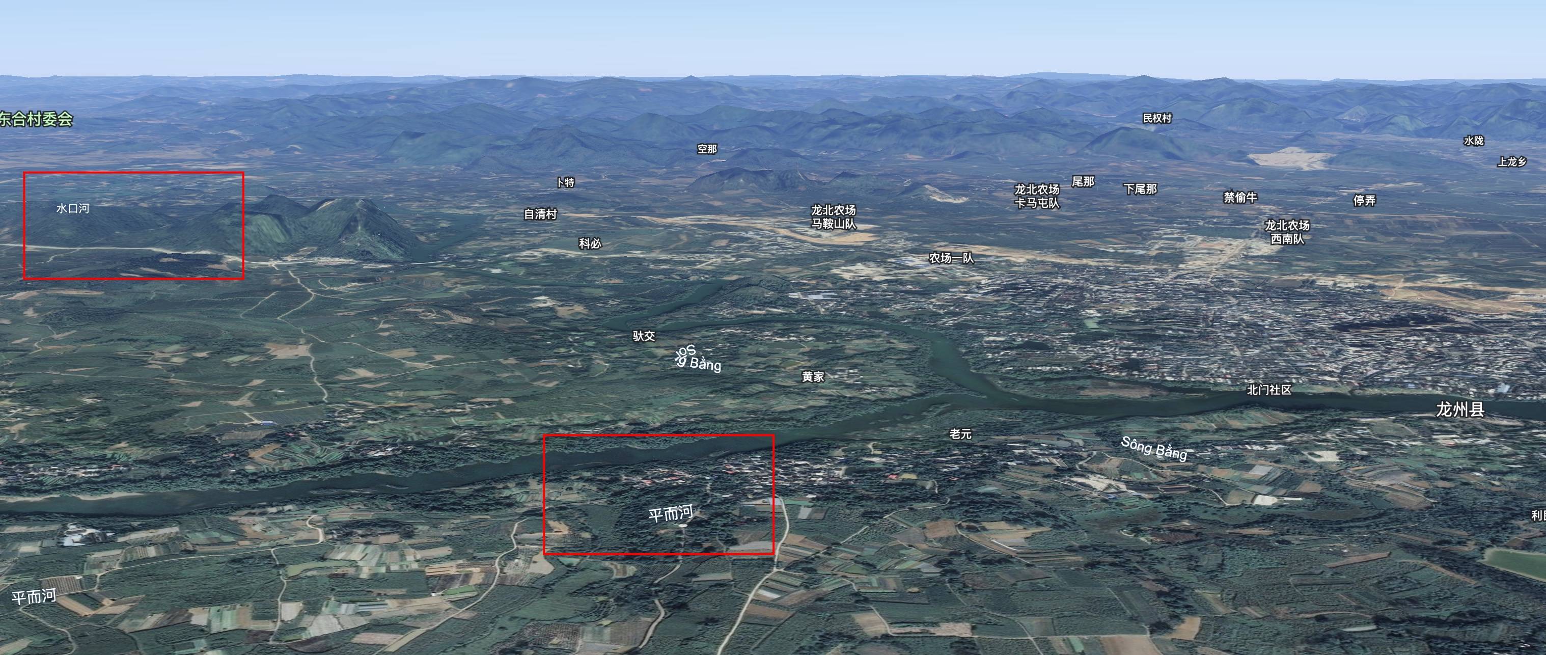
A hydrological and terrain elevation explanation of why floodwaters in northern Vietnam can flow north into Guangxi.
Copyright © 2020-2026 MalaGIS · Archives · Sitemap
Back to top