Following Bentley Systems' acquisition of Cesium and its increasing commercial integration, GIS professionals are exploring alternative open-source solutions for 3D geospatial projects. Maptalks emerges as a viable option, particularly for projects requiring domestic innovation ecosystem compliance.
Introduction to Maptalks
Maptalks is a JavaScript library for building 2D/3D maps with these core features:
- Plugin-based lightweight architecture
- Base map rendering
- Vector data visualization
- Built-in measurement and drawing tools
Official Resources:
- Open-Source Documentation: https://maptalks.org/
- Commercial Solutions: https://maptalks.com/
Note: Commercial offerings include proprietary WebGL layer plugins and IDE software.
Project Founder:
Fu Zhen (GitHub: fuzhenn) 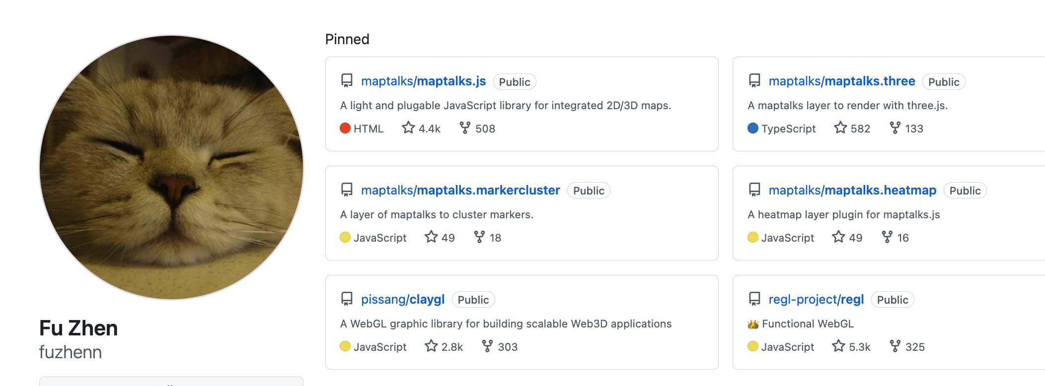
Zhihu Profile
Capability Overview
With the maptalks.three plugin extension, Maptalks achieves functional parity with Cesium for most use cases:
Core Features:
- Layer management
- Geometry rendering
- Event handling
- Plugin extensibility
- WebGL-accelerated vector rendering
Application Domains:
- Urban planning
- Environmental monitoring
- Smart city development
- Digital twin implementations
- 3D geovisualization
- VR/AR integration
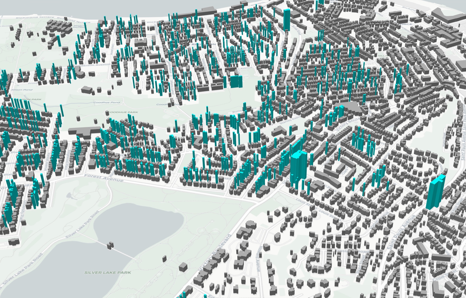
Sample Visualizations: 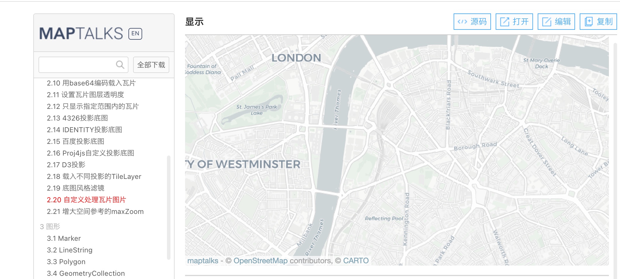
Basic Maptalks implementation
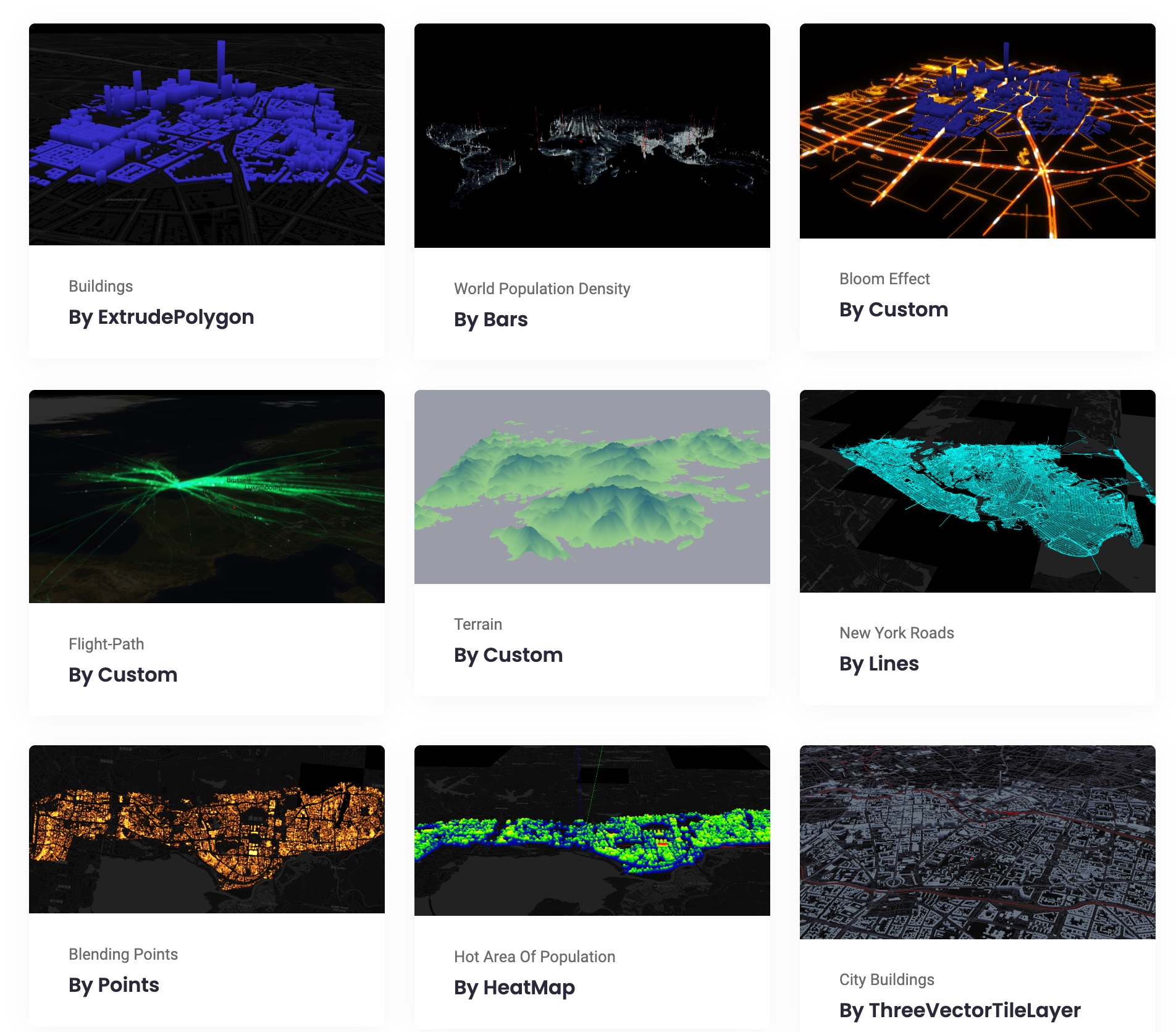
maptalks.three extension demonstration
Technical Assessment
Advantages
- Lightweight Architecture: Fast loading and efficient runtime performance
- High-Performance Rendering: WebGL-optimized for complex geometries
- Extensible Plugin System: Rich ecosystem for functional expansion
- Modular Design: Customizable component integration
- Open-Source Compliance: Meets domestic innovation ecosystem requirements
Limitations
- Native 3D Capabilities: Requires plugins for advanced 3D functionality compared to Cesium
- Community Scale: Relatively smaller developer community
- Development Pace: Slower feature updates due to smaller core team
- Documentation Gaps: Inconsistent documentation updates with new releases
Strategic Recommendations
Technology selection should consider:
- Project requirements
- Team expertise
- Regulatory compliance needs
For projects mandating domestic innovation compliance, early adoption of Maptalks provides strategic flexibility. Maintaining technical proficiency in alternative solutions mitigates risks associated with commercial platform dependencies.
Additional Notes
Contributions of complementary open-source geospatial engines are welcomed in the comments section.