With the rapid development of AI technologies—such as in our earlier article A First Look at Using Segment Anything for GIS and the booming trend of generative AI—many GIS professionals might wonder: is there an AI tool that can help with vectorization tasks? The answer is yes. In this article, we will explore how to use an AI-powered plugin in QGIS to automate vectorization.
Plugin: Bunting Labs AI Vectorizer
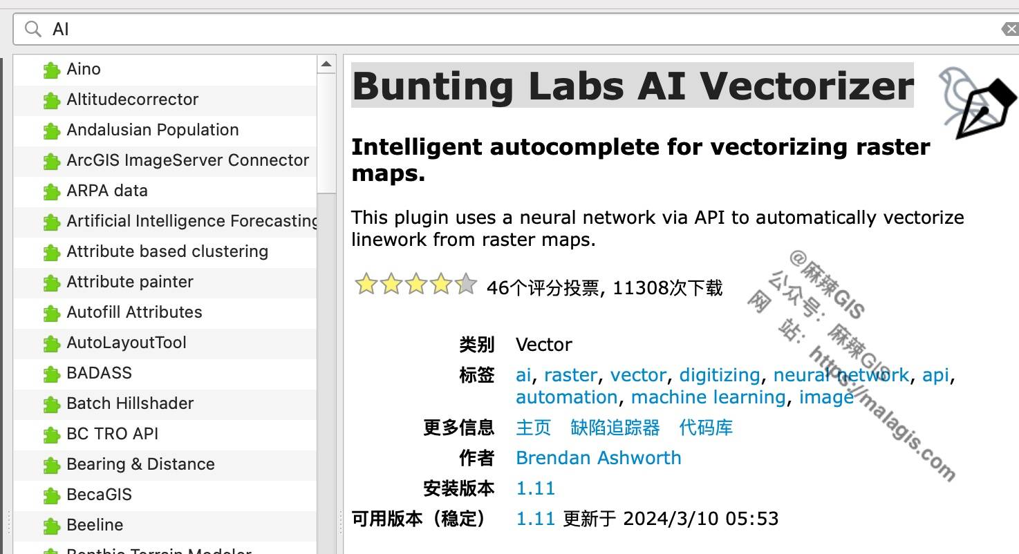
The tool recommended here is the AI Vectorizer by Bunting Labs. It’s an AI-assisted plugin for QGIS that helps automate the vectorization process. Official website:
Here are a couple of demo videos:
And another one:
Not bad, right?
Plugin Installation
You can install the plugin directly from the QGIS Plugin Manager. Search for "Bunting Labs AI Vectorizer", find it, and click install.
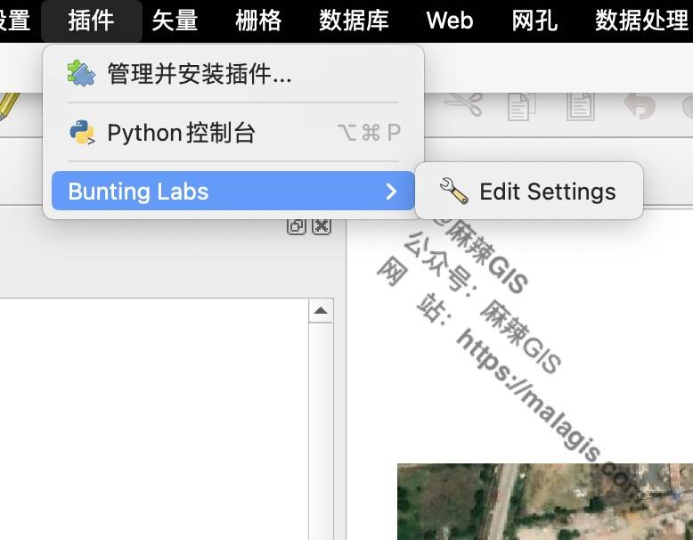
Plugin Configuration
After installation, the plugin cannot be used right away. Since it is a commercial plugin, you need to apply for an API key from the official website to activate the trial version.
Click Get Started on the website, then enter your email address.
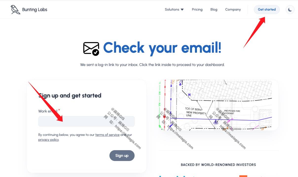
You’ll receive a login email in your inbox.
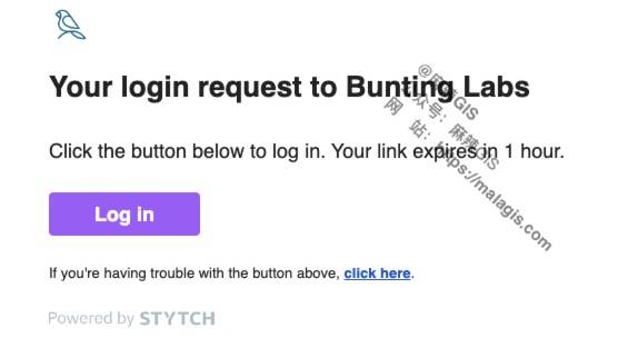
Click the Login button in the email.
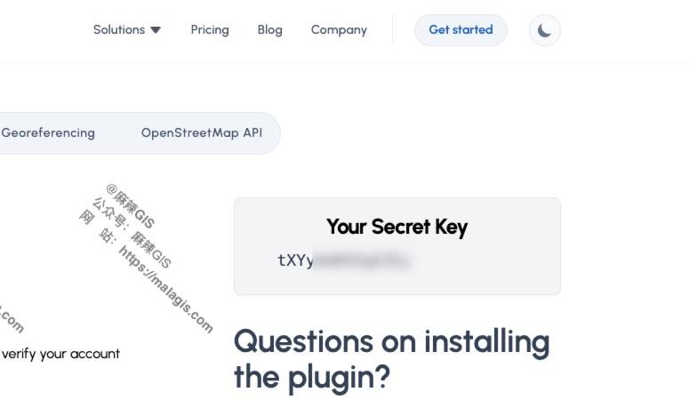
You will then be given a Your Secret Key. Copy this key and paste it into the plugin’s configuration in QGIS:
As shown here:
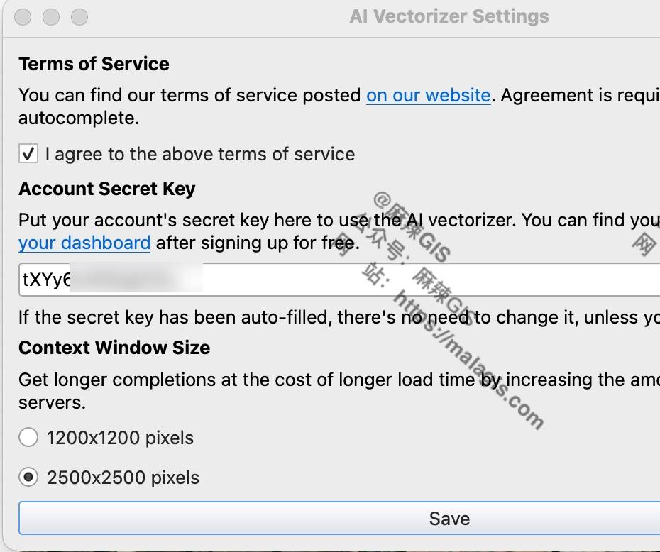
Click Save, and the plugin is ready to use.
How to Use the Plugin
Once the plugin is activated, you no longer need to manually draw lines or polygons for vectorization. Currently, the plugin supports both line and polygon auto-vectorization. Let’s take polygon vectorization as an example.
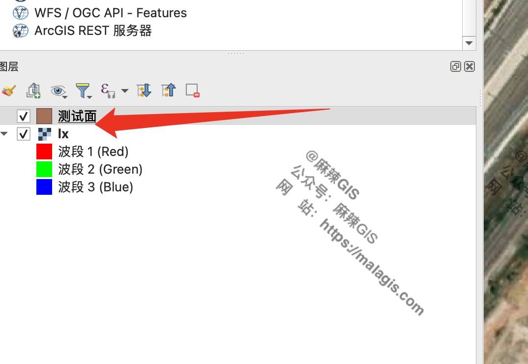
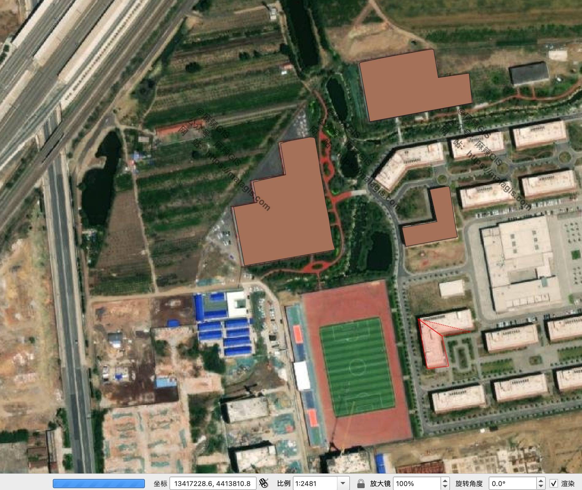
First, load a basemap (e.g., around the Laixi Train Station area), then create a new polygon layer.
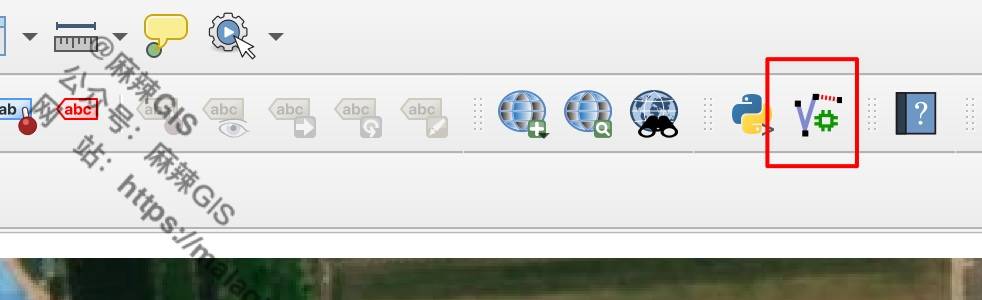
Switch the polygon layer to editing mode, then click the auto-vectorization button to start the process.
The result looks like this:
Note: Since the plugin connects to servers abroad, it is recommended to set up a proxy for better performance. You can refer to our article How to Set System Proxy for QGIS for configuration steps.
Final Thoughts
In my experience, this plugin works better on scanned paper maps than on satellite imagery with low contrast. The quality of vectorization varies depending on the input image.
Note: This may be due to the limitations of the free version I used.

If you have the budget, consider trying the paid version—it offers more powerful features.