
 GIS Software
geojson-vt: Client-Side Dynamic Vector Tiling for Large GeoJSON in WebGIS
Recently, while working on WebGIS projects, I often ran into the problem of large GeoJSON files free...
GIS Software
Recently, while working on WebGIS projects, I often ran into the problem of large GeoJSON files free...
 GIS Tutorial
I previously gave a brief introduction to TopoJSON in GIS Tutorial: What Is TopoJSON. At that time, ...
 GIS News
In early June 2026, the Open Geospatial Consortium (OGC) officially released the OGC Features and Ge...
 GIS News
In today's rapidly evolving AI technology, we are constantly exploring ways to make AI process vario...
 GIS Tutorial
A few days ago, while working on a GIS dashboard development, I encountered a highly peculiar issue:...
 GIS Tutorial
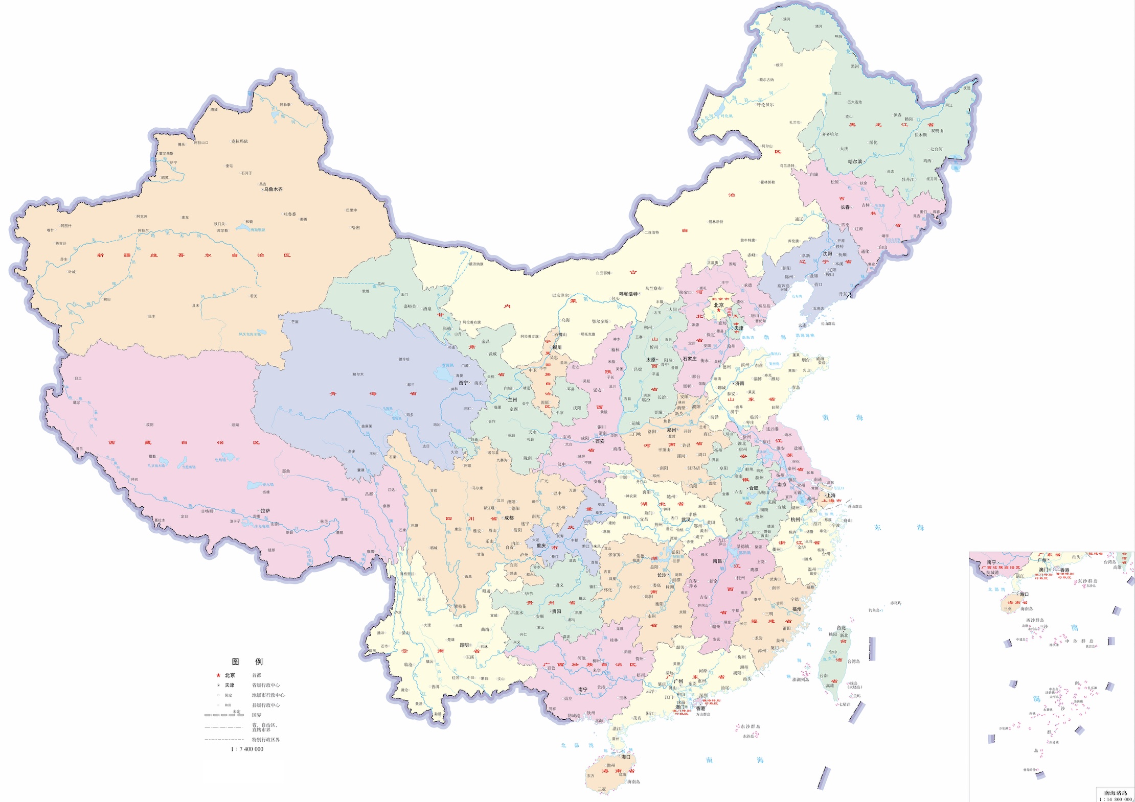
Building upon our previous sharing of district/county-level administrative division data, we now pro...
Copyright © 2020-2026 MalaGIS Drive by Typecho & Lingonberry Sitemap