MalaGIS

Sharing GIS Technologies, Resources and News.

Maptalks: An Open-Source Alternative to Cesium for Geospatial Visualization

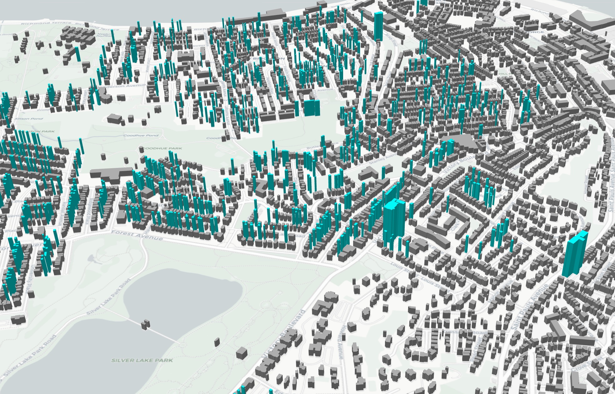
Following Bentley Systems' acquisition of Cesium and its increasing commercial integration, GIS professionals are exploring alternative open-source solutions for 3D geospatial projects. Maptalks emerges as a viable option, particularly for projects requiring domestic innovation ecosystem compliance.

more >>

Open-Source Dashboard Templates for GIS Developers: BigDataView Project

During discussions in our GIS community chat, a colleague humorously noted: "After three years in 3D GIS, my most frequent projects are dashboards." This resonated widely among GIS developers, highlighting a common industry reality—dashboard projects dominate the WebGIS landscape. While not technically complex, these projects demand meticulous attention to aesthetic details like color schemes that consume disproportionate time.

Introducing BigDataView: An open-source repository of dashboard templates designed to alleviate this pain point.

more >>

TorchGeo: A PyTorch Domain Library for Geospatial Data Processing

TorchGeo is a PyTorch domain library, similar to torchvision, specifically designed for geospatial data. It provides datasets, samplers, transforms, and pretrained models to help machine learning practitioners work with geospatial data and enable remote sensing experts to explore machine learning solutions.

more >>

Copyright © 2020-2026 MalaGIS Drive by Typecho & Lingonberry Sitemap

Back to top