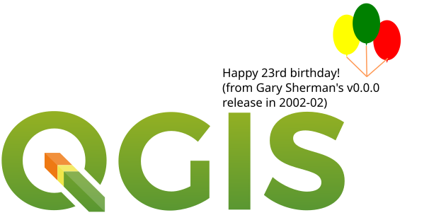
While updating to QGIS 3.40.3, I stumbled upon a surprising fact: QGIS is now 23 years old – possibly older than many of its users. It’s remarkable that this powerful open-source GIS software, used worldwide for mapping, data processing, and service publishing, was born in the dial-up internet era. Since Gary Sherman wrote its first line of code in Germany in 2002, QGIS has quietly revolutionized spatial technology for 23 years. Debuting five years before the iPhone and thirteen years before TensorFlow, this open-source GIS has not only survived three technological earthquakes (the dot-com crash, mobile revolution, and AI explosion) but evolved from a basic map viewer into global geospatial infrastructure. Let’s journey through time to uncover how this "living tech fossil" defied commercial giants to become king.
From Personal Project to Industry Standard: A Rebel’s Epic
In 2002, proprietary GIS software dominated the market. Esri charged exorbitant licensing fees, forcing institutions in developing countries to mortgage equipment for access. Then, German developer Gary Sherman ignited a spark with open-source code.
QGIS’s Early Survival Strategy:
- Minimalism: Version 0.1 was just 7MB, running smoothly on Windows 98 PCs with 128MB RAM.
- Guerrilla Tactics: Targeted Linux systems to capture developer mindshare, avoiding commercial software battlefields.
- Parasitic Innovation: Leveraged GRASS GIS algorithms for spatial analysis, "standing on giants’ shoulders".
Few predicted this "toy project" would shrink commercial GIS market share by 37% by 2024 (Geospatial World Report). Today, UNHCR uses QGIS for refugee camp planning, SpaceX analyzes Starlink coverage gaps with it, and this "toy" has redefined GIS value chains globally.
QGIS Evolution Timeline
QGIS’s development is a living epic of open-source GIS, marked by technological leaps and community growth across key phases.
Early Stage (2002–2008)
Launched as Quantum GIS in 2002, its initial goal was a lightweight, user-friendly GIS viewer. Early versions focused on vector data display and basic analysis, attracting pioneering users and developers to form its first community.
Development Stage (2008–2013)
QGIS expanded rapidly, adding raster support, plugin systems, and spatial analysis tools. The January 2009 release of QGIS 1.0 marked its maturity, with surging community contributions.
Maturity Stage (2013–Present)
- September 2013: QGIS 2.0 introduced a new vector API, Sextante geoprocessor integration, and symbol/label enhancements.
- February 2018: QGIS 3.0 migrated to Qt5, PyQt5, and Python 3.
- June 2020: QGIS 3.14 added native time support—one of its most impactful features.
QGIS now serves education, research, government, and commercial sectors as open-source GIS’s flagship. Its thriving community maintains vast plugin libraries and support systems.
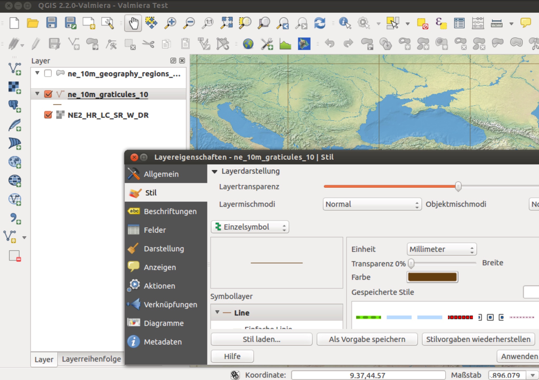
Caption: QGIS 2.2 running on Linux
Why Did QGIS Conquer the World?
Key factors include:
- Free & Open-Source
Unlike commercial alternatives (e.g., ArcGIS) costing thousands annually, QGIS is completely free—winning over developing nations, academia, and SMEs. Its open model attracts global developers for rapid iteration. - Vibrant Community
Active international forums (GitHub, Stack Exchange, official groups) provide tutorials, plugins, and troubleshooting. Annual QGIS conferences foster global collaboration. - Cross-Domain Versatility
QGIS adapts via plugins/scripts: environmentalists track deforestation, logistics firms optimize routes—any GIS application finds a solution here. - Education & Research Catalyst
Universities teach spatial thinking with QGIS, while researchers develop custom algorithms for accelerated innovation. - Global-Local Synergy
Supporting 48+ languages (though 3.40.3 lacks Chinese) and regional communities (e.g., Japan’s QGISユーザー会), it thrives across continents.
QGIS Limitations
Growing adoption reveals key challenges:
- Specialized Analysis Gaps
Lacks advanced tools for complex geostatistics, network analysis, or 3D modeling compared to commercial suites. - Weak 3D/LiDAR Support
Struggles with large LiDAR datasets and sophisticated 3D analysis—now standard in ArcGIS Pro. - Lagging Emerging Tech Integration
Slow adoption in AI, big data, AR/VR, IoT, and machine learning for remote sensing. - Performance Bottlenecks
Chokes on massive datasets/complex operations, especially on low-spec hardware. - Enterprise Support Shortcomings
No official 24/7 support; deep business system integrations remain rare. - Plugin Fragility
While boasting 800+ plugins, 23% go unmaintained for 2+ years, and version upgrades often break compatibility (e.g., QGIS 3.28).
Conclusion
These limitations don’t negate QGIS’s revolutionary impact—it remains ideal for learning, lightweight projects, and small teams. Yet enterprises must weigh its suitability for heavy-duty workflows. As the open-source community evolves, future versions may bridge these gaps.

QGIS’s success transcends technology: it’s a triumph of open culture and collaboration. By shattering GIS monopolies, it democratized spatial intelligence. Whether you’re a map enthusiast or professional analyst, QGIS unlocks free exploration of our world. As its motto declares: Spatial without Compromise. Spatial visualization and decision-making tools for everyone—QGIS truly brought cutting-edge GIS to the masses.