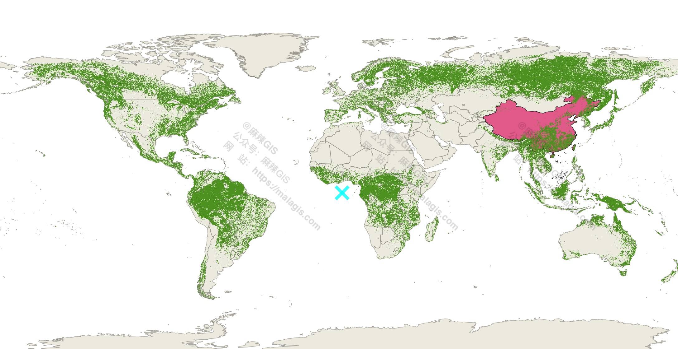
In response to community inquiries regarding forest cover data analysis (e.g., correlation with PM2.5 levels), we present a comprehensive 2020 global forest coverage dataset available through multiple access methods: WMS services, Google Earth Engine (GEE), or direct download.
Dataset Overview
This composite dataset integrates five authoritative sources:
- ESA World Cover (2020/2021)
- WRI Tropical Tree Cover (2020)
- UMD Global Land Cover and Land Use (2019)
- Global Mangrove Watch (2020)
- JRC Tropical Moist Forest (2020)
Data fusion methodology documented at:
https://publications.jrc.ec.europa.eu/repository/handle/JRC136960
Access Methods
1. Direct Download
Access tile-based downloads via the interactive portal:
https://forobs.jrc.ec.europa.eu/GFC
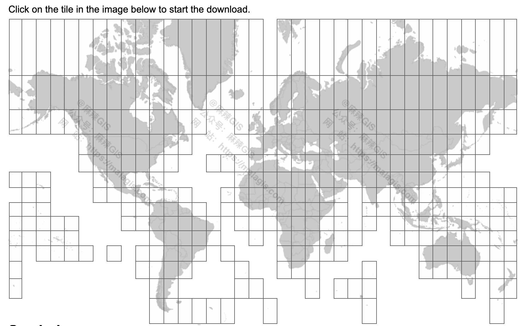
Click grid cells to download regional data
Automation Tip: Batch download scripts available upon request ("script" in comments).
2. WMS Service
Integrate directly into GIS platforms using: https://ies-ows.jrc.ec.europa.eu/iforce/gfc2020/wms.py?
QGIS implementation example
3. Google Earth Engine
Access via GEE catalog:
https://developers.google.com/earth-engine/datasets/catalog/JRC_GFC2020_V1
Additional Notes
Large-scale downloads can leverage GEE's export functionality to Google Drive (free tier: 15GB). Detailed methodology reserved for future documentation.