We're sharing a valuable 2023 global soil erodibility dataset acquired through complex application procedures. This resource is particularly useful for GIS researchers conducting soil erosion studies.
Dataset Overview
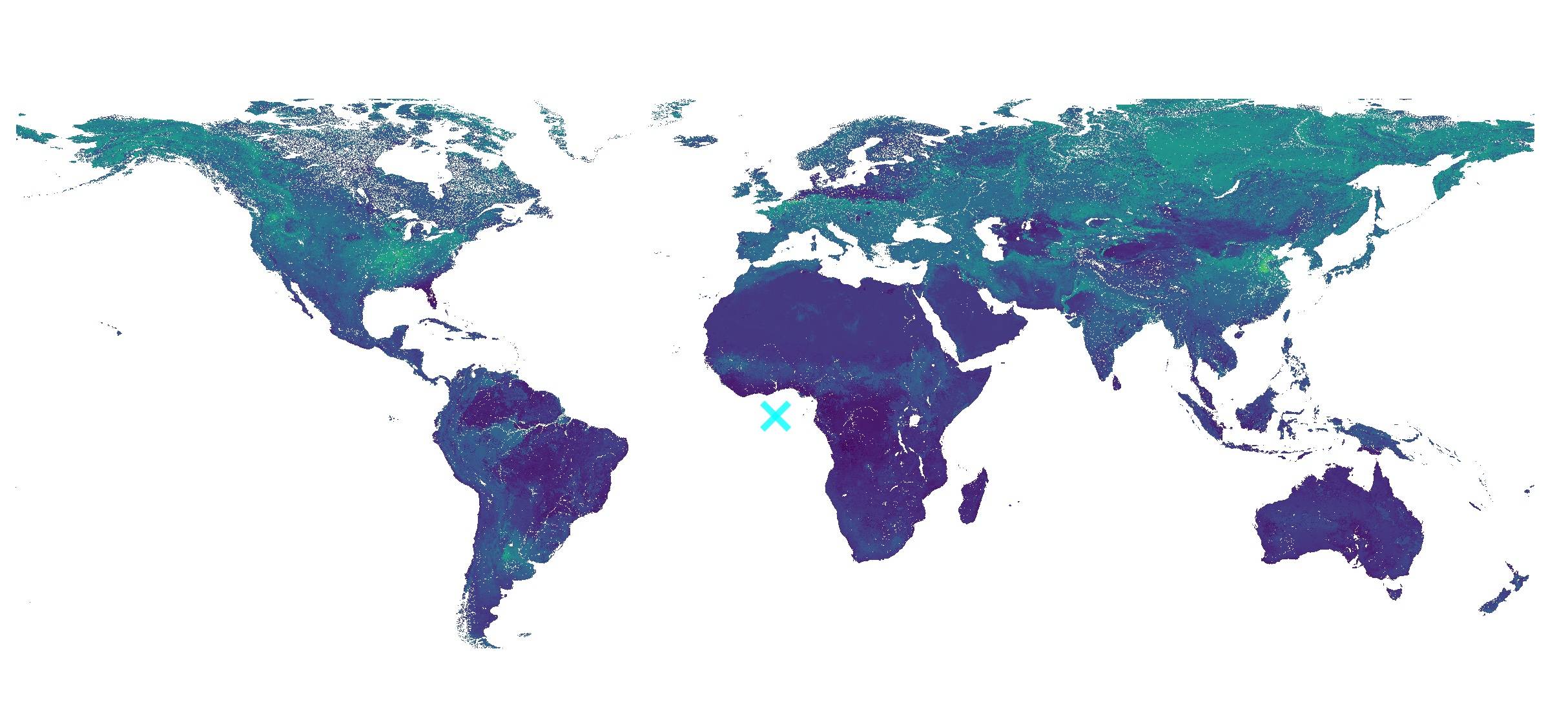
The package contains 5 key datasets:
- K_factor_with_Ksat.tif
Modified global soil erodibility map incorporating measured Ksat values into the Wischmeier and Smith (1978) texture-based K-factor equation. - K_factor_soiltexture_Wischmeier.tif
Standard global soil erodibility map using the unmodified Wischmeier and Smith (1978) texture-based K-factor equation. - K_GloSEM_factor.tif
GloSEM soil erodibility map developed by Borrelli et al. (2017), originally at 250m resolution but resampled to 1km for comparative analysis. - K_factor_with_Ksat_error.tif
Uncertainty assessment for the modified K_ksat factor (90% Prediction Interval), calculated using quantiles 0.05 and 0.95 via R package ranger (Wright and Ziegler 2015). - K_factor_soiltexture_Wischmeier_error.tif
Uncertainty assessment for the standard K Wischmeier factor (90% PI), calculated with same methodology.
Technical Specifications
- Coverage: Global (-180°, -62° : 180°, 87.3°)
- Resolution: 1km pixel size
- CRS: EPSG:4326 (WGS 84)
Data Source
European Soil Data Centre (ESDAC):
https://esdac.jrc.ec.europa.eu/
Download Access
Baidu Cloud:
- Link: https://pan.baidu.com/s/1zUuRemJwxk88G1ilae986A
- Access code: wa4y
- Unzip password: malagis.com
Visualization in QGIS
Simply drag the TIFF files into QGIS: 
Default grayscale rendering
Apply pseudocolor rendering for enhanced visualization: 
Single-band pseudocolor representation
Additional Notes
Contributions of complementary soil science datasets are welcomed. For discussion opportunities, join our WeChat group via official account "Malagis" by replying with "摸鱼".