For global-scale visualizations (e.g., GDP distribution maps), complex tile services like WMTS/WMS are often unnecessary. ECharts-GL provides six high-quality static basemaps—including Earth and lunar datasets—that offer lightweight alternatives to conventional tile services. These pre-rendered images work seamlessly with Cesium, Leaflet, and other mapping frameworks.
Complementary resource: https://malagis.com/share-world-map-vector-data-shp-from-gaode-map.html
Dataset Specifications
Coverage:
- Earth: -180° to 180° longitude, -90° to 90° latitude
- Moon: Full lunar surface
- Format: JPEG (5400×2700 resolution)
- Count: 4 Earth basemaps + 2 lunar basemaps
Cesium Implementation Example
const staticBasemap = new Cesium.SingleTileImageryProvider({
  url: "/world-economic.jpg",
  tileWidth: 5400,
  tileHeight: 2700,
  rectangle: Cesium.Rectangle.fromDegrees(-180.0, -90.0, 180.0, 90.0)
});

viewer.imageryLayers.addImageryProvider(staticBasemap);
Visualization Samples: 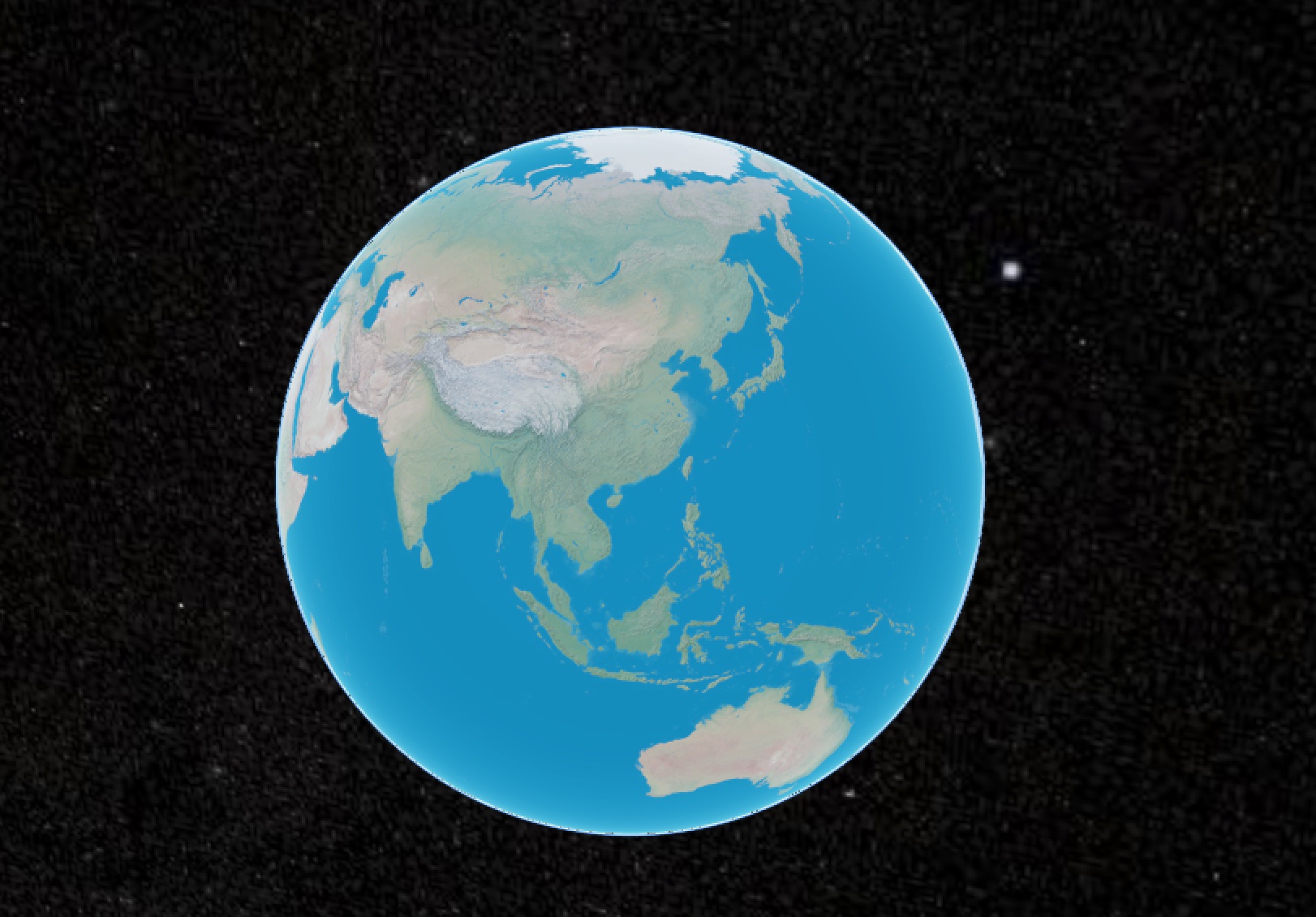
Political boundaries basemap
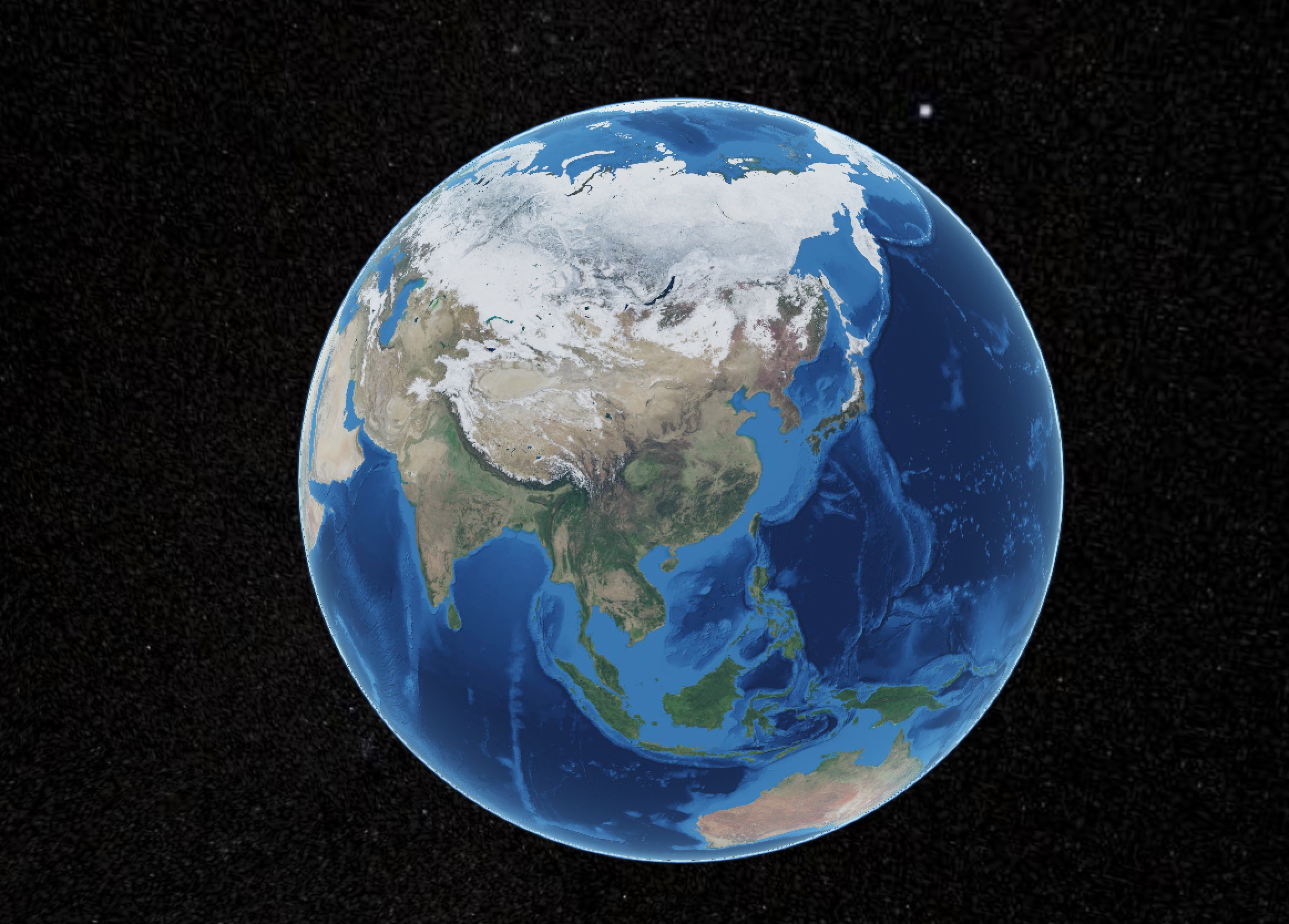
Physical terrain basemap
Advantages and Limitations
Benefits:
- Rapid loading without tile server dependencies
- Aesthetically optimized cartographic design
- Cross-platform compatibility (Cesium/Leaflet/OpenLayers)
- Bypasses API call limits of services like Tianditu
Constraints:
- Fixed resolution (not suitable for zoom levels > ~1:1,000,000 scale)
- No dynamic styling or attribute querying
Data Access
Download package via Baidu Cloud:
- Link: https://pan.baidu.com/s/1_rWbS9y8fz__XdMPyBIoXQ
- Access code: u4ua
- Unzip password: malagis.com
Submissions of higher-resolution global basemaps are welcomed for community sharing.