Building upon our previous tutorials on 《Creating Dynamic Marathon Route Visualizations with MapPlus: A No-Code GIS Solution》 and 《Implementing Dynamic Marathon Route Visualization with Cesium》, this guide introduces a solution for users seeking pre-processed trajectory data without manual digitization.
Introducing Two Step Road Platform
Official Website: https://www.2bulu.com/
Two Step Road is China's premier outdoor activity platform offering:
- Trail data sharing
- Navigation tools
- Event organization systems
- Outdoor equipment marketplace
- Community forums
The platform aggregates thousands of user-contributed GPS trajectories from hiking, cycling, and marathon activities across China.
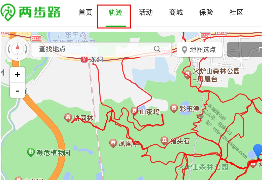
Trail database interface
Data Acquisition Workflow
- Account Registration: Create free account
- Trail Discovery: Browse or search target routes

Trail details with user descriptions Data Download:
- Select desired trail
- Click download button
- Choose KML or GPX format

Important Note:
Downloaded files initially have .htm extension. Manually rename to .kml for GIS compatibility.
GIS Integration
QGIS Visualization
- Rename downloaded file to
.kml - Drag into QGIS workspace:
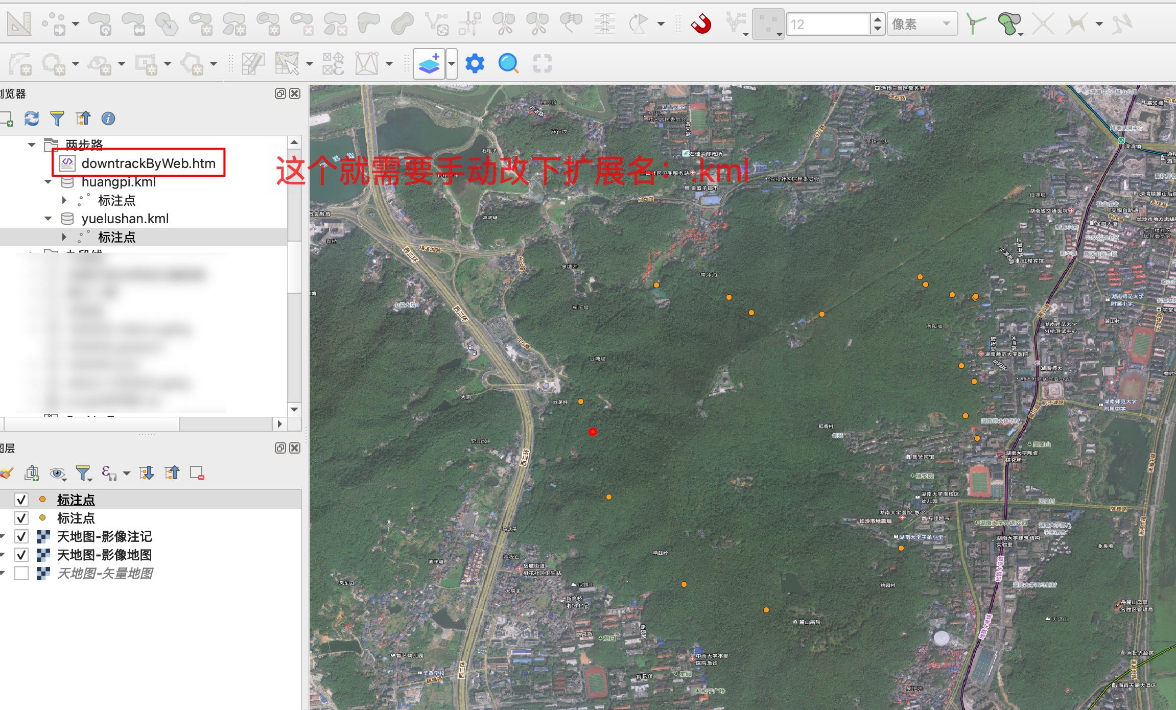
- View trail geometry and attributes:
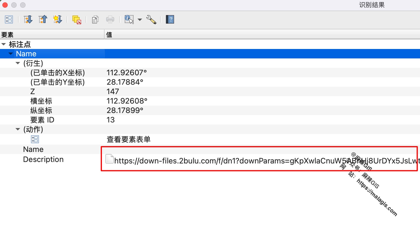
Limitation: Rich media content from platform isn't fully parsed in QGIS.
Technical Value Perspective
Two Step Road exemplifies effective integration of geospatial technology and outdoor recreation:
- Technical Foundation: GPS data collection and sharing infrastructure
- Community Engagement: User-generated content ecosystem
- Business Model: Equipment marketplace and insurance services monetizing the platform
This case demonstrates how geospatial technologies can create sustainable business ecosystems beyond pure technical applications.