MalaGIS

Sharing GIS Technologies, Resources and News.

Google Earth AI Comprehensive Upgrade: Gemini Empowers Geospatial Reasoning

Recently (on October 24), the Google Earth team updated their official website, announcing that this upgrade officially integrates the Gemini large model into Google Earth, adding geospatial reasoning capabilities. This transforms it from a platform primarily displaying satellite images into an intelligent geospatial analysis platform that can understand and respond to natural language queries.

Geospatial Reasoning

To solve complex problems, one must see the big picture. This is the concept behind "Geospatial Reasoning," a framework powered by Gemini that now enables AI to automatically connect different Earth AI models—such as weather forecasting, population maps, and satellite imagery—to answer complex questions.

more >>

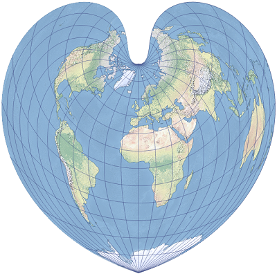
A GIS Valentine: Bonne Projection and Drawing from the Heart

Valentine’s Day is here again, and the GIS community group at Malagis is buzzing with excitement. Watching the lively discussions makes one nostalgic for youthful enthusiasm. On such a romantic day, shouldn't everything—including GIS—have its own charm? Let’s explore two GIS-inspired romantic ideas shared by the group.

1. The Bonne Projection

Do you still remember the Bonne projection? Or have your cartography lessons faded into memory? Here's what it looks like:

more >>

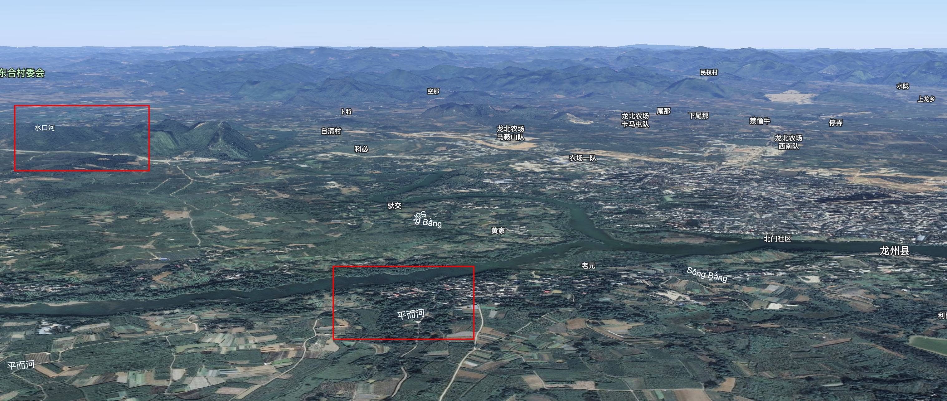
Unraveling the Hydrology: Why Vietnamese Floodwaters Flow North into Guangxi

While reviewing flood reports, an unusual phenomenon caught my attention: Vietnamese ducks carried by floodwaters into Guangxi, China. This initially seemed geographically counterintuitive—Vietnam lies south of China, so why would floodwaters flow northward? Further investigation revealed fascinating hydrological realities.

more >>

Copyright © 2020-2025 MalaGIS Drive by Typecho & Lingonberry Sitemap

Back to top