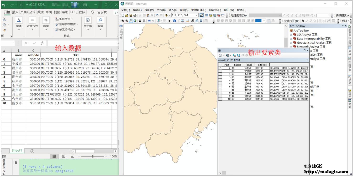
Following my previous article "This Certification is Highly Valuable for GIS Job Seekers, Yet Overlooked by Many", which helped numerous GIS professionals advance their careers, a middle school geography teacher recently requested vector data for China's geographic regional partitions for classroom presentations. After research, I'm sharing this valuable dataset.
Data Specifications
- Geographic Coordinate System: GCS_Krasovsky_1940
- Projected Coordinate System: Krasovsky_1940_Albers
Regions Included:
- Tarim and Turpan Basins
- Qaidam Basin
- Central Shanxi-Northern Shaanxi-Eastern Gansu Plateau
- Eastern Qinghai-Qilian Mountains
- Liaodong-Jiaodong Hills
- Central Shandong Hills
- Southern Shanxi-Guanzhong Basin
- Ngari Mountains
- Qiangtang Plateau Lake Basin
- Western Sichuan-Eastern Tibet High Mountains
- Sichuan Basin
- Jiangnan and Nanling Mountains
- Guizhou Plateau
- Jiangnan Hills
- Yunnan Plateau
- Qiong-Lei Hills
- Sanjiang Plain
- Northeastern Mountain Region
- Northeastern Piedmont Plain
- Central Songliao Plain
- Southern Greater Khingan Range
- Sanhe Piedmont Hills
- Southwestern Songliao Plain
- Eastern Inner Mongolia High Plain
- Western Inner Mongolia High Plain
- Northern Kunlun Mountains
- Junggar Basin
- Altai Mountains and Tacheng Basin
- Ili Basin
- North China Plain
- Southern Himalayas
- Fujian-Guangxi-Guangdong Hills and Plains
- Kunlun Alpine Plateau
- Central-Northern Taiwan Mountains and Plains
- Golog-Nagqu Hilly Plateau
- Alxa and Hexi Corridor
- Qiong-Lei Lowlands
- South Tibet Mountains
- Qiong-Lei Lowlands and Dongsha Islands
- Southern Yunnan Valleys and Hills
- Southern Qinghai Plateau Wide Valleys
- Hanzhong Basin
- Huainan and Middle-Lower Yangtze Plains
- North China Hills
- Southern Taiwan Lowlands
- Greater Khingan Range