When crafting dynamic marathon routes from official maps, directly tracing simplified route images is inefficient without proper spatial referencing. Georeferencing solves this by aligning raster images with real-world coordinates.
When crafting dynamic marathon routes from official maps, directly tracing simplified route images is inefficient without proper spatial referencing. Georeferencing solves this by aligning raster images with real-world coordinates.
When processing DWG data in QGIS, exporting multiple layers individually becomes tedious. Here are three efficient batch export methods。
When asked about generating dynamic marathon route maps like those in Beijing Marathon 2024, I discovered MapPlus—a zero-code solution for creating animated race visualizations. This tool eliminates the need for custom development while producing professional-grade outputs.
In our previous article 《「GIS Data」Download Updated National Administrative Division Codes》, we discussed methods to acquire administrative codes. A common application is powering location selection components in frontend systems, as shown below:

When our frontend team requested updated administrative division codes, I leveraged the 2024 national standard vector map dataset (Approval No. GS(2024) 0650) shared in our previous article. This official dataset contains accurate administrative codes within its attribute tables, making it ideal for extraction.

Building upon our previous sharing of district/county-level administrative division data, we now provide the 2024 updated version sourced from China's official platform. This dataset addresses limitations in earlier versions (e.g., data gaps, insufficient detail) while maintaining cartographic compliance.
Following our previous articles on the https://malagis.com/gis-data-share-2010-2020-global-forest-age-distribution-gami-data.html and https://malagis.com/qgis-open-netcdf-file-methods-summary-solutions.html, we introduce Ncview - a specialized tool for quick visualization of netCDF format data without launching full GIS applications.
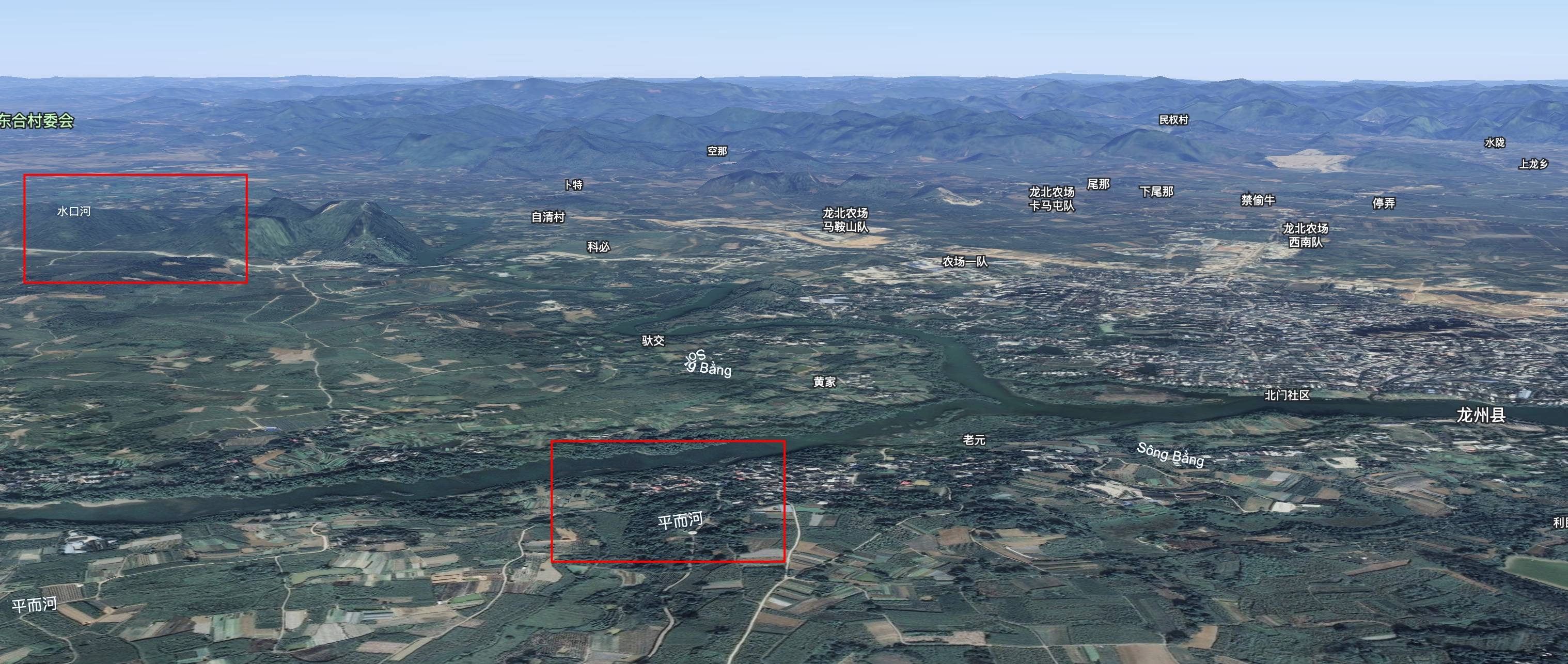
While reviewing flood reports, an unusual phenomenon caught my attention: Vietnamese ducks carried by floodwaters into Guangxi, China. This initially seemed geographically counterintuitive—Vietnam lies south of China, so why would floodwaters flow northward? Further investigation revealed fascinating hydrological realities.

While browsing NASA resources, I discovered an intriguing tool called "Your Name In Landsat". This creative application transforms text into satellite imagery mosaics - a perfect diversion as we approach the Mid-Autumn Festival.

Example output: "malagis" spelled with Landsat imagery
Following our previous article on the https://malagis.com/gis-data-share-2010-2020-global-forest-age-distribution-gami-data.html, this guide demonstrates netCDF visualization techniques in QGIS, eliminating the need for specialized tools like IDL.
Copyright © 2020-2026 MalaGIS Drive by Typecho & Lingonberry Sitemap