
 GIS Tutorial
Layer Swipe in QGIS: Plugin Solutions
In a previous article "Practical Application of Geo Hound: Extracting Wuhan's Unified Planning Map…
58 articles
GIS Tutorial
In a previous article "Practical Application of Geo Hound: Extracting Wuhan's Unified Planning Map…
 GIS Data
Following my previous article "This Certification is Highly Valuable for GIS Job Seekers, Yet…
 GIS News
QGIS 3.44 has now been officially released. I downloaded and tried it out immediately. For Windows…
 GIS Tutorial
Following my previous article on extracting Wuhan's planning map services using Geo Hound, the…
 GIS Data
Following my previous article "GIS Data: Global Time Zone Boundary Data (SHP Format)", several…
 GIS Tutorial
As Mac gains popularity among professionals, many GIS users inquire about its suitability for…
 GIS Tutorial
Geo Hound is a browser extension that automatically captures map service links from web pages and…
 GIS Tutorial
The QGIS development team has officially announced plans for QGIS 4.0, with an expected release in…
 GIS Tutorial
Recently in the MalaGIS discussion group, we debated the seemingly stagnant development of GIS and…
 GIS Tutorial
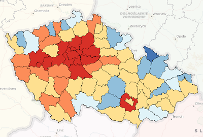
When creating thematic maps in ArcGIS or QGIS, thematic coloring (choropleth mapping) is a common…