
 GIS Tutorial
23 Years of QGIS: The Open-Source Revolution That Reshaped GIS
While updating to QGIS 3.40.3, I stumbled upon a surprising fact: QGIS is now 23 years old –…
58 articles
GIS Tutorial
While updating to QGIS 3.40.3, I stumbled upon a surprising fact: QGIS is now 23 years old –…
 GIS Tutorial
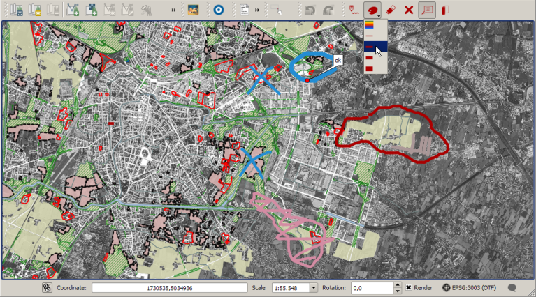
Red Layer is a sketch annotation plugin for QGIS 3 that enables rapid hand-drawn annotations…
 GIS Tutorial
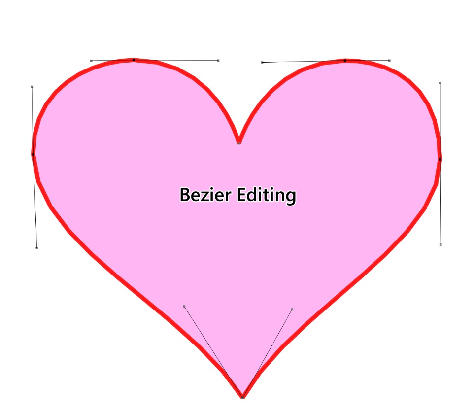
Bezier Editing is an open-source plugin for QGIS that specializes in precision vector graphic…
 GIS Tutorial
Valentine’s Day is here again, and the GIS community group at Malagis is buzzing with excitement…
 GIS Tutorial
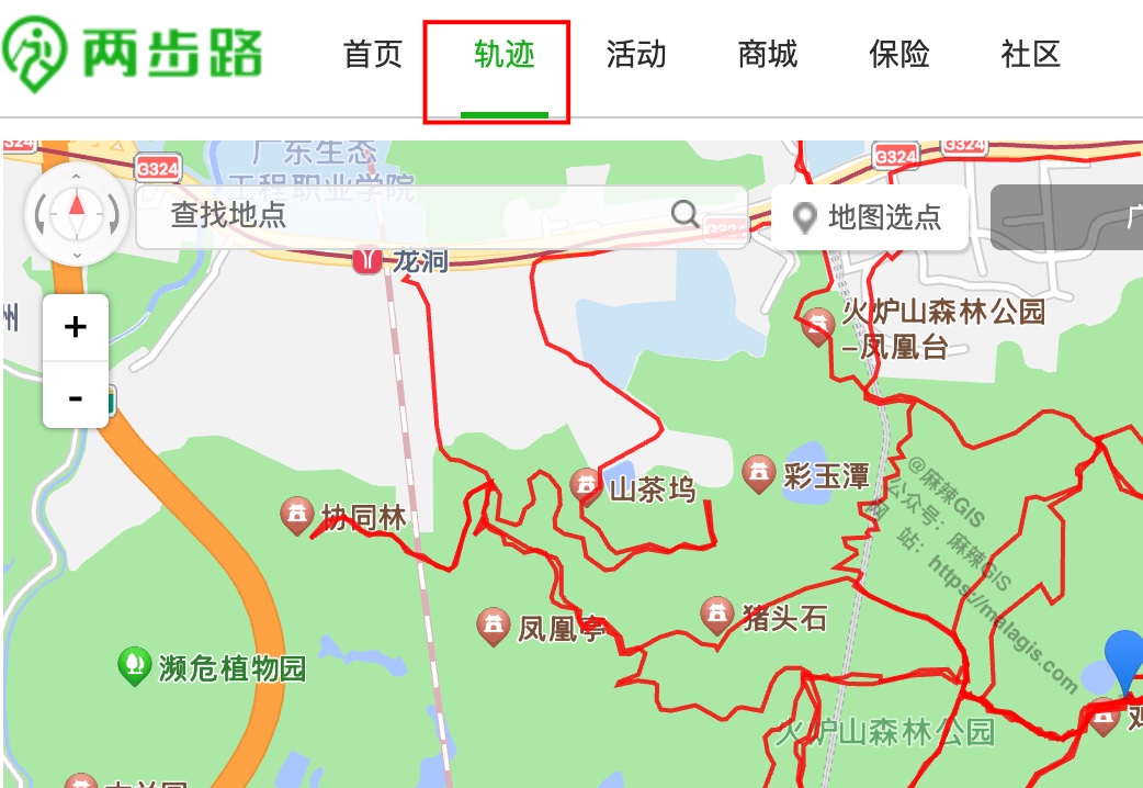
Building upon our previous tutorials on 《Creating Dynamic Marathon Route Visualizations with…
 GIS Tutorial
Following our previous article on Processing China Marathon Data for Spatial Analysis, this guide…
 GIS Tutorial
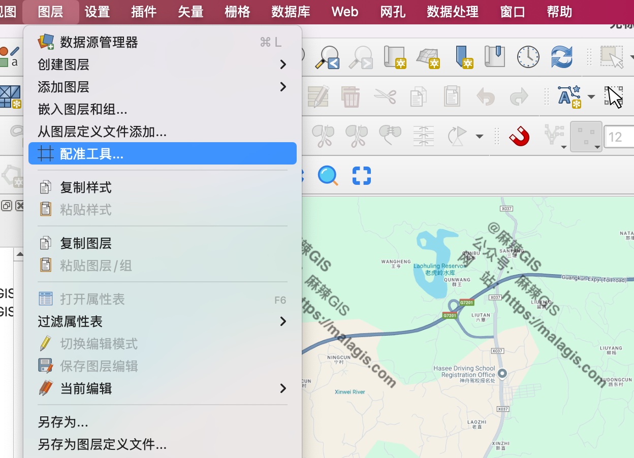
When crafting dynamic marathon routes from official maps, directly tracing simplified route images…
 GIS Tutorial
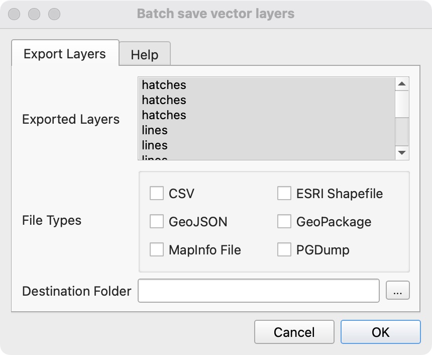
When processing DWG data in QGIS, exporting multiple layers individually becomes tedious. Here are…
 GIS Tutorial
When our frontend team requested updated administrative division codes, I leveraged the 2024…
 GIS Tutorial
Following our previous article on the https://malagis.com/gis-data-share-2010-2020-global-forest-age…