
 GIS Tutorial
Extracting Shanghai's Planning Map Services with Geo Hound: A Practical Workflow
Following my previous article on extracting Wuhan's planning map services using Geo Hound, the origi...
GIS Tutorial
Following my previous article on extracting Wuhan's planning map services using Geo Hound, the origi...
 GIS Tutorial
Author: An anonymous GIS professional specializing in astronomy, geography, remote sensing, and geom...
 GIS Data
Following my previous article "GIS Data: Global Time Zone Boundary Data (SHP Format)", several reade...
 GIS Tutorial
Geo Hound is a browser extension that automatically captures map service links from web pages and ce...
 GIS Tutorial
A reader recently noted that my earlier guide on purchasing licensed ArcGIS Pro is outdated. Upon re...
 GIS Tutorial
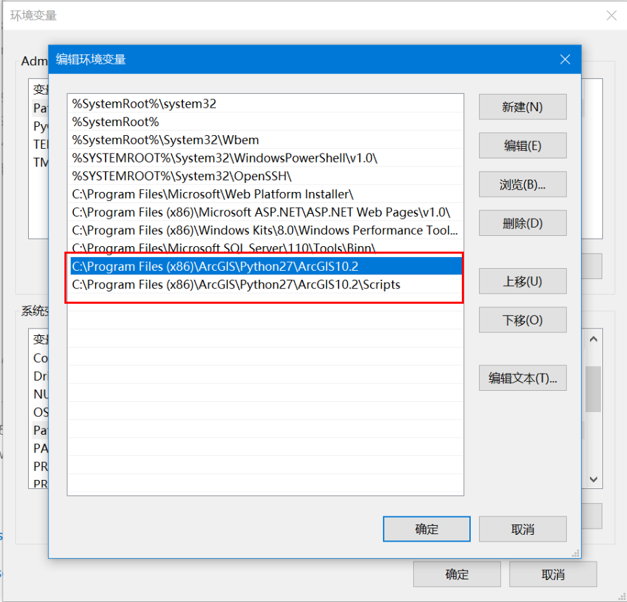
When working on data processing projects with ArcGIS Desktop (non-Pro version), extending arcpy func...
 GIS Data
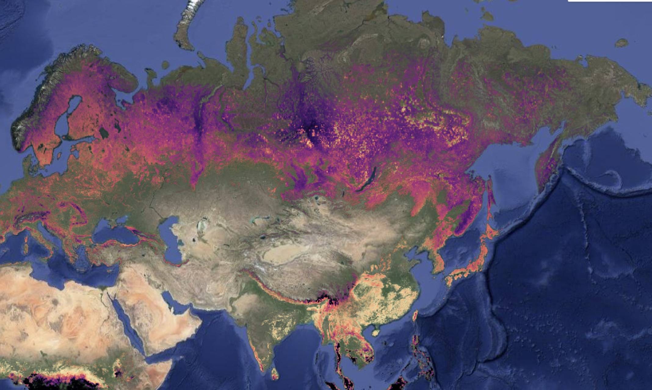
We're introducing the Global Age Mapping Integration (GAMI) dataset—a high-resolution global forest ...
Following our previous article 《https://malagis.com/arcgis-pro-3-1-6-installation-problem-solution.h...
 GIS Tutorial
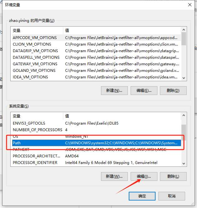
When extending ArcGIS Python functionality (e.g., using openpyxl for Excel integration), installing ...
 GIS Tutorial
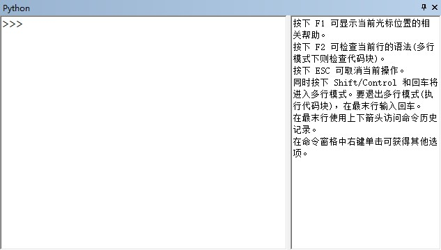
Using Python within ArcGIS requires foundational Python knowledge. The following modules support Pyt...
Copyright © 2020-2026 MalaGIS Drive by Typecho & Lingonberry Sitemap