While developing a workflow involving spatial data duplication, an analyst requested help with client requirements:
① Convert individual polygons to WKT format in TXT files
② Merge multiple polygons into MultiPolygon WKT format

While developing a workflow involving spatial data duplication, an analyst requested help with client requirements:
① Convert individual polygons to WKT format in TXT files
② Merge multiple polygons into MultiPolygon WKT format
Users installing ArcGIS Pro 3.0 on Windows 11 may encounter a blank interface despite successful installation. The software displays no maps, web services, or searchable online tools:
Figure: Post-installation blank screen
Following previous discussions on GIS side gigs, this guide addresses practical approaches to earning internationally. Given higher labor costs in developed countries, leveraging currency exchange rates makes international remote work particularly advantageous for GIS specialists. For context, consider these cases:
The principle remains: Competing globally often yields better returns than domestic markets.
Following our previous article 《「GIS Resource」Sharing WMTS Service for Chinese Historical Maps》, many users adopted the historical territory maps. However, those maps lacked contextual historical figures and events. Based on reader recommendations, we present a more comprehensive solution:
Recent work involving IFC standards led me to Autodesk's official documentation, which I'm sharing here:

Following our previous article 《A WMTS Service for Historical Chinese Maps: How to Load in QGIS》, colleagues inquired about websites for querying global satellite parameters. Coincidentally, I recently discovered such a platform through video recommendations. The website remains operational and is shared here for relevant needs.
Recently, someone in the Malagis GIS group was looking for historical maps of Chinese dynasties. While a friend from Qingdao shared some high-resolution scanned maps, I remembered seeing an online historical map service maintained by an institute in Taiwan. After asking GPT, I found it again. If you're interested in historical geography, this is a valuable resource.
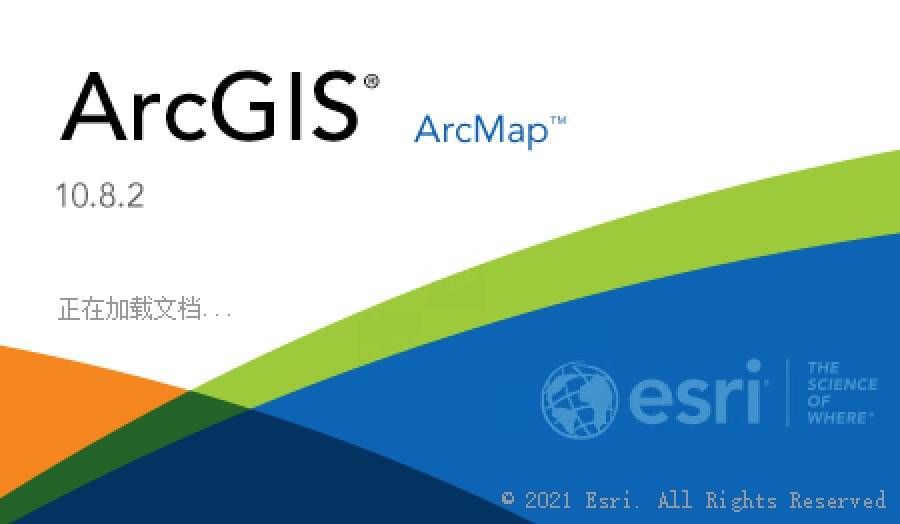
Share the official ArcGIS 10.8.2 installation package (ISO format) containing all Desktop components, including the Simplified Chinese language pack. Additionally, a "Learning Edition" package is provided with all components, Chinese language support, and supplementary tools for unrestricted use.
Since launching ArcGIS Pro, ESRI has shifted focus away from ArcGIS Desktop. ArcGIS 10.8.2 represents the final major release of the ArcMap series. Despite this, it remains a robust solution for users transitioning from ArcGIS Pro.
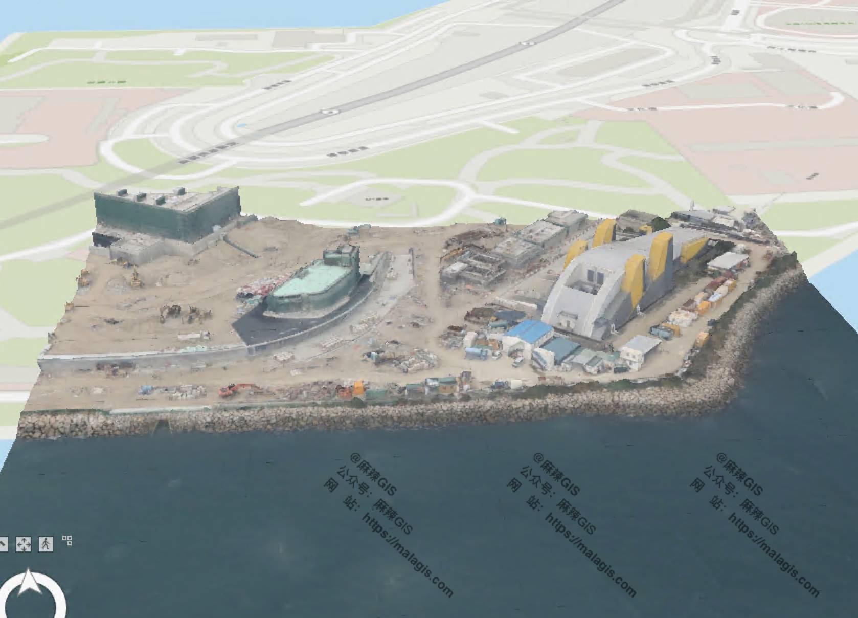
Recently, while testing OSGB data and related software, I explored using ArcGIS Pro for this purpose. After successful verification, this article documents the specific workflow.
In a previous article "Adding Centroid Coordinates in QGIS Using Field Calculator", we demonstrated adding centroid coordinates via QGIS. This article explains the mathematical principles behind centroid calculation for polygons.
Copyright © 2020-2026 MalaGIS Drive by Typecho & Lingonberry Sitemap