
 GIS News
Recovering Archived Web Content: A Wuhan Company's Controversial Webpage and GIS Industry Implications
Recently, a screenshot from a Wuhan-based company's website went viral across Chinese social platfor...
GIS News
Recently, a screenshot from a Wuhan-based company's website went viral across Chinese social platfor...
 GIS Tutorial
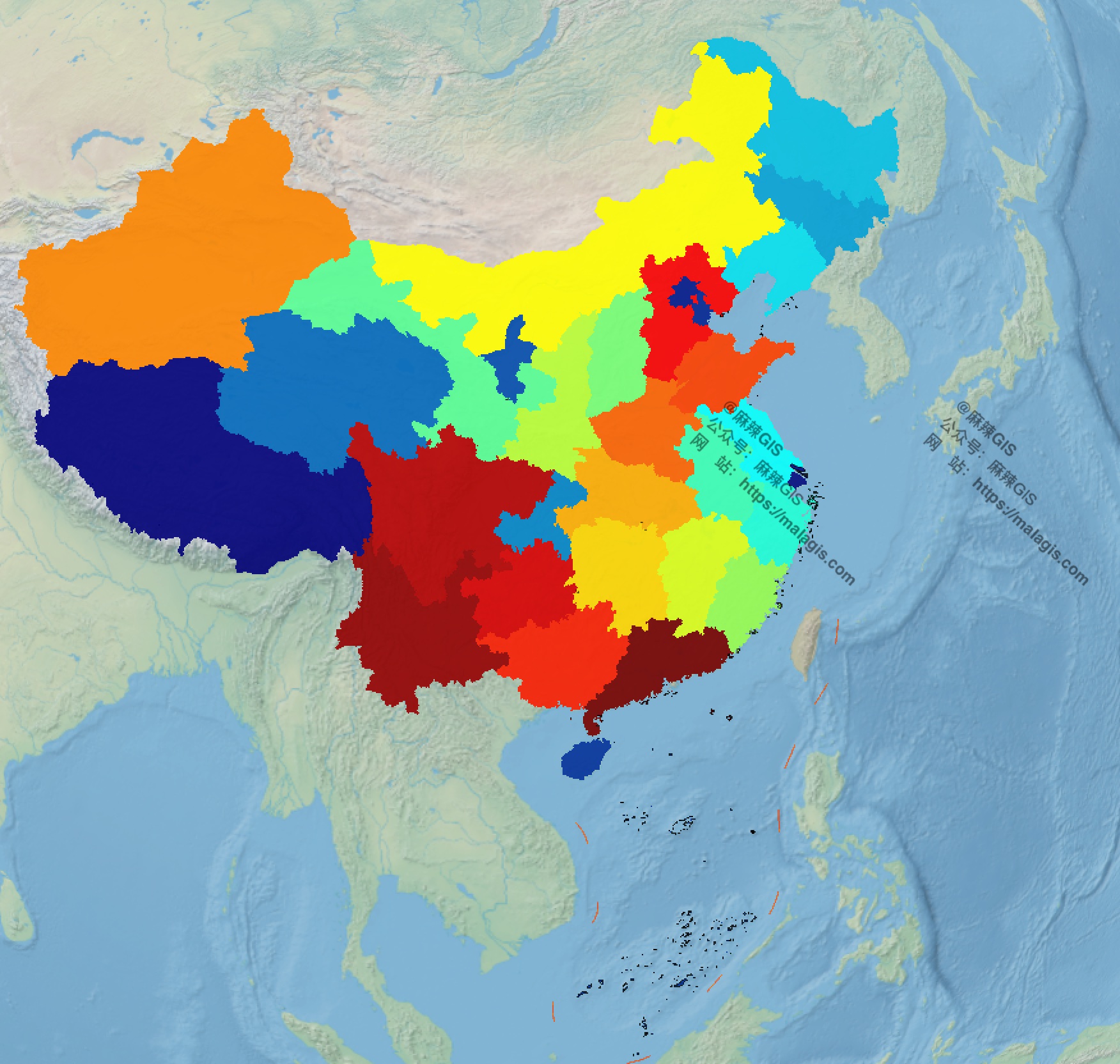
When visualizing national highway mileage across Chinese provinces in QGIS, I needed provincial capi...
Following our guide on https://malagis.com/qucik-build-a-cesium-study-example.html, this article add...
 GIS Tutorial
This article contrasts the core technical specifications of Landsat 9 and Sentinel-2, key Earth obse...
 GIS Tutorial
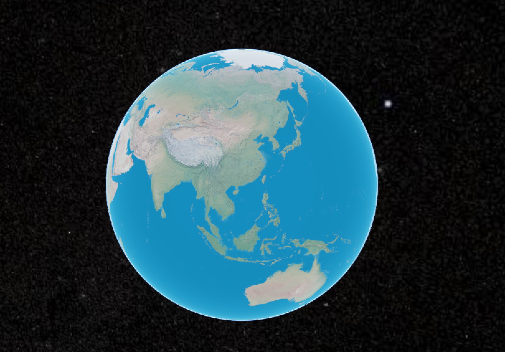
For global-scale visualizations (e.g., GDP distribution maps), complex tile services like WMTS/WMS a...
 GIS Tutorial
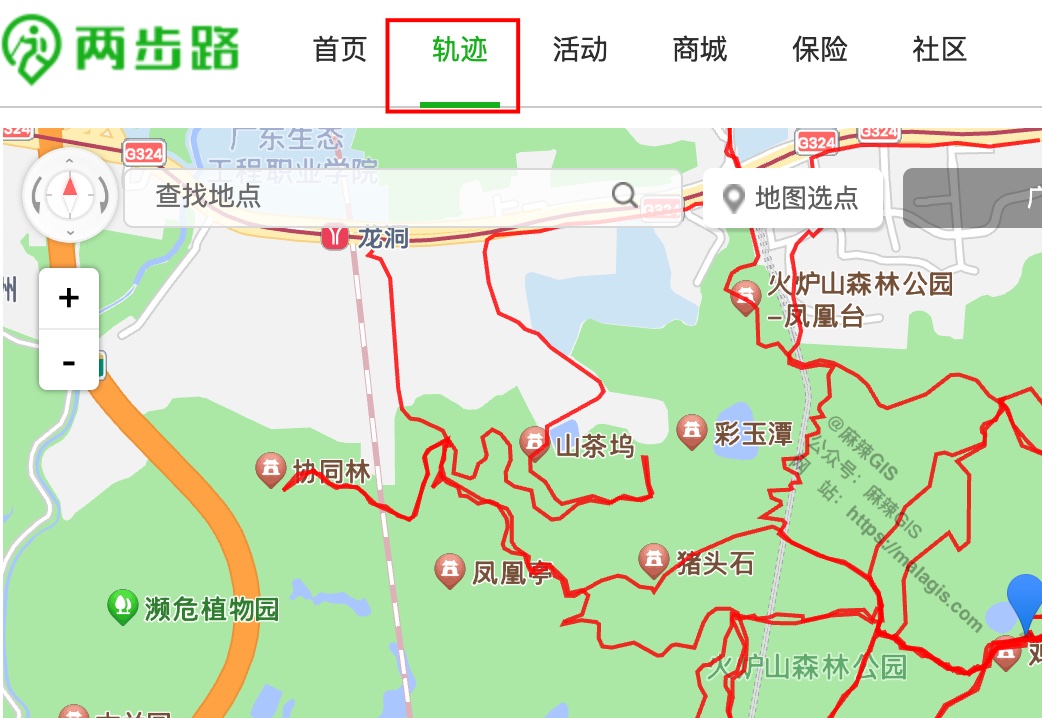
Building upon our previous tutorials on 《Creating Dynamic Marathon Route Visualizations with MapPlus...
 GIS Tutorial
When integrating Cesium into a legacy UMI3-based WebGIS project, Node version compatibility issues a...
 GIS Tutorial
When deploying CesiumJS projects, the library's substantial size (~100MB) often slows CI builds. Thi...
 GIS Tutorial
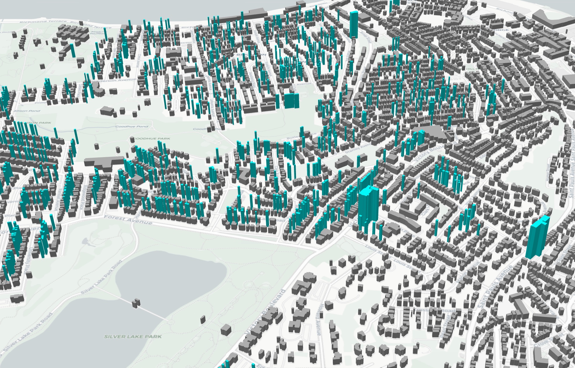
Following Bentley Systems' acquisition of Cesium and its increasing commercial integration, GIS prof...
 GIS Tutorial
As an alternative to the MapPlus solution presented in our previous article 《Creating Dynamic Marath...
Copyright © 2020-2026 MalaGIS Drive by Typecho & Lingonberry Sitemap