
 GIS Tutorial
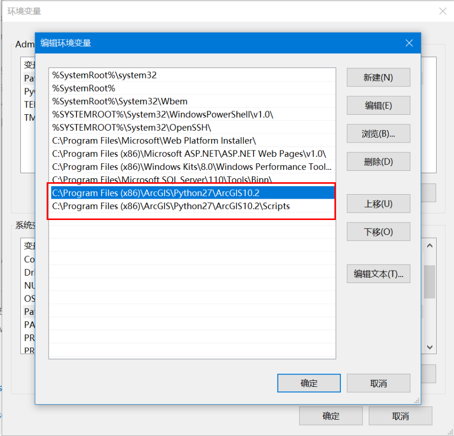
Installing Third-Party Libraries for ArcGIS Desktop Python Environment
When working on data processing projects with ArcGIS Desktop (non-Pro version), extending arcpy func...
GIS Tutorial
When working on data processing projects with ArcGIS Desktop (non-Pro version), extending arcpy func...
 GIS Tutorial
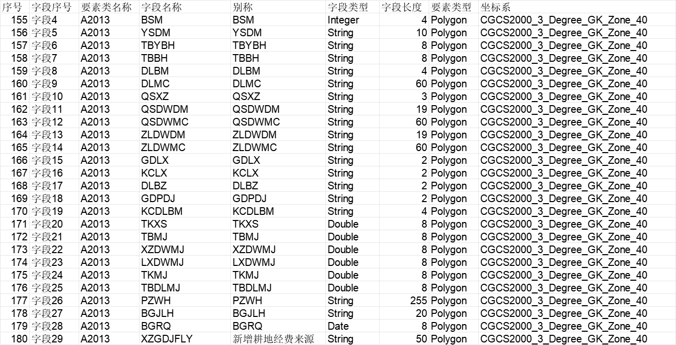
During a recent data processing project, I developed an ArcPy script to automate geodatabase schema ...
 GIS Tutorial
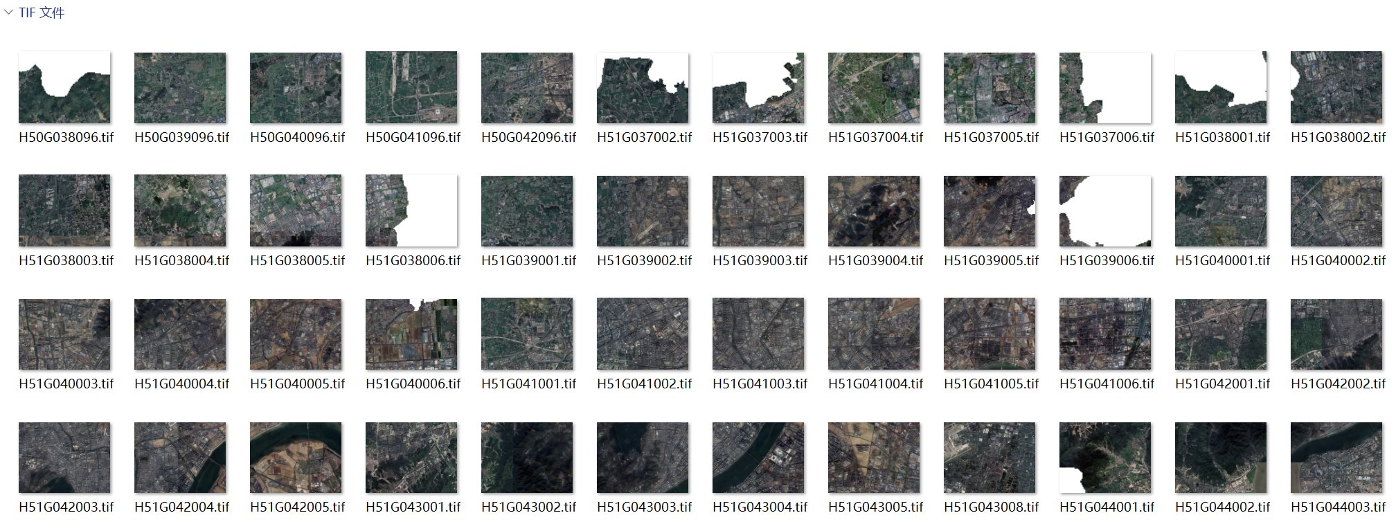
When managing large volumes of high-resolution satellite imagery (e.g., 1:10,000 scale sheets), visu...
 GIS Tutorial
Following our previous article on Processing China Marathon Data for Spatial Analysis, this guide de...
 GIS Tutorial
In follow-up to our tutorial on Creating Dynamic Marathon Route Visualizations with MapPlus: A No-Co...
 GIS Tutorial
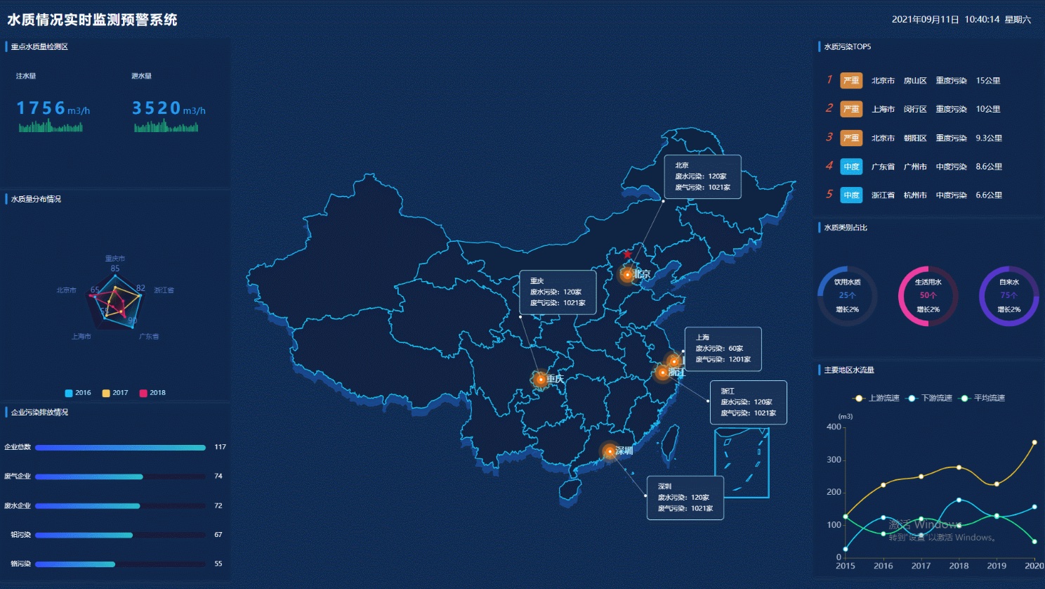
During discussions in our GIS community chat, a colleague humorously noted: "After three years in 3D...
 GIS Tutorial
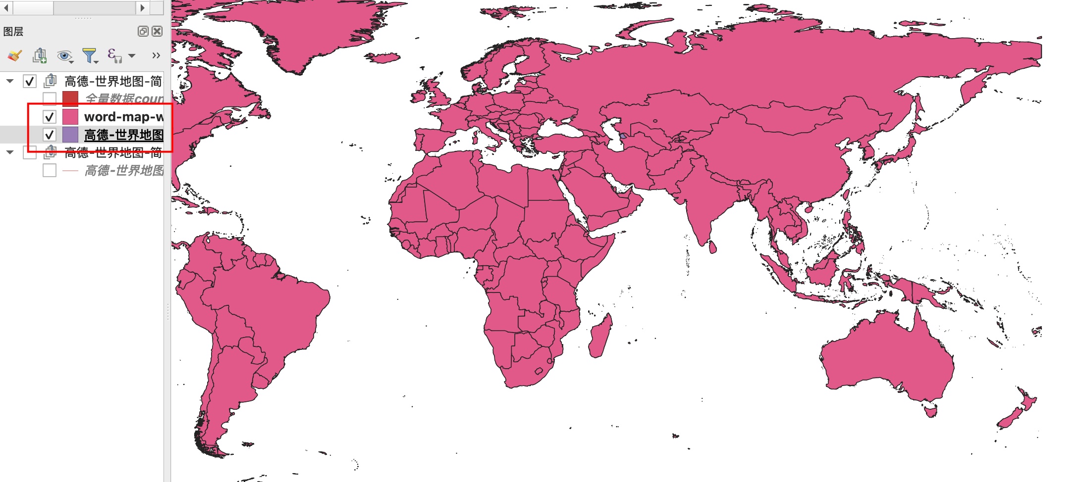
Building on previous world map solutions—either officially approved but misaligned or precisely geor...
 GIS Tutorial
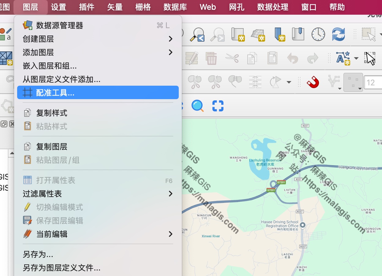
When crafting dynamic marathon routes from official maps, directly tracing simplified route images i...
 GIS Tutorial
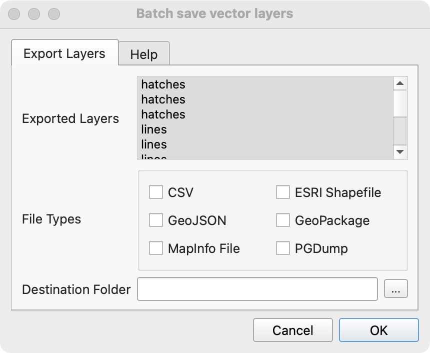
When processing DWG data in QGIS, exporting multiple layers individually becomes tedious. Here are t...
 GIS Tutorial
When asked about generating dynamic marathon route maps like those in Beijing Marathon 2024, I disco...
Copyright © 2020-2026 MalaGIS Drive by Typecho & Lingonberry Sitemap