
 GIS Tutorial
Extracting Administrative Division Codes from Authoritative National GIS Datasets
In our previous article 《「GIS Data」Download Updated National Administrative Division Codes》, we disc...
GIS Tutorial
In our previous article 《「GIS Data」Download Updated National Administrative Division Codes》, we disc...
 GIS Tutorial
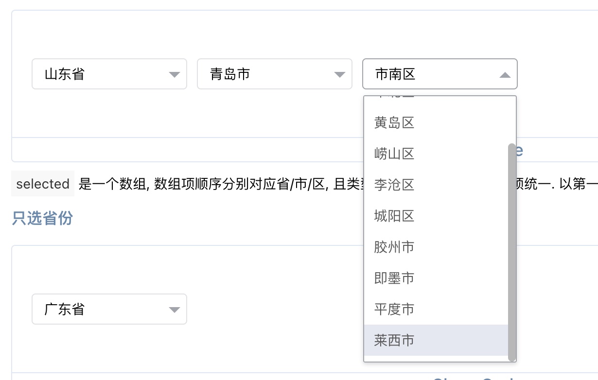
When our frontend team requested updated administrative division codes, I leveraged the 2024 nationa...
 GIS Tutorial
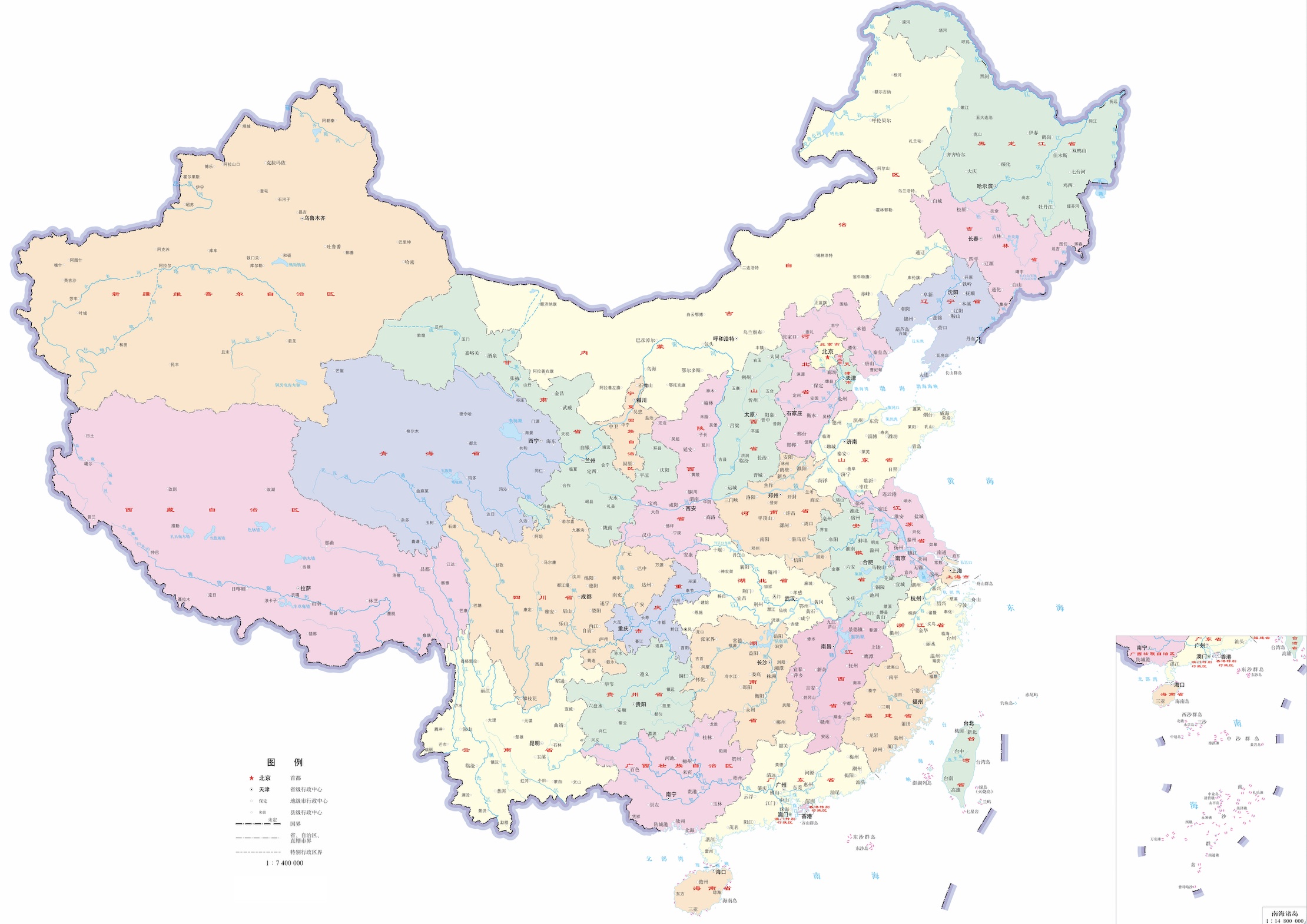
Building upon our previous sharing of district/county-level administrative division data, we now pro...
 GIS Software
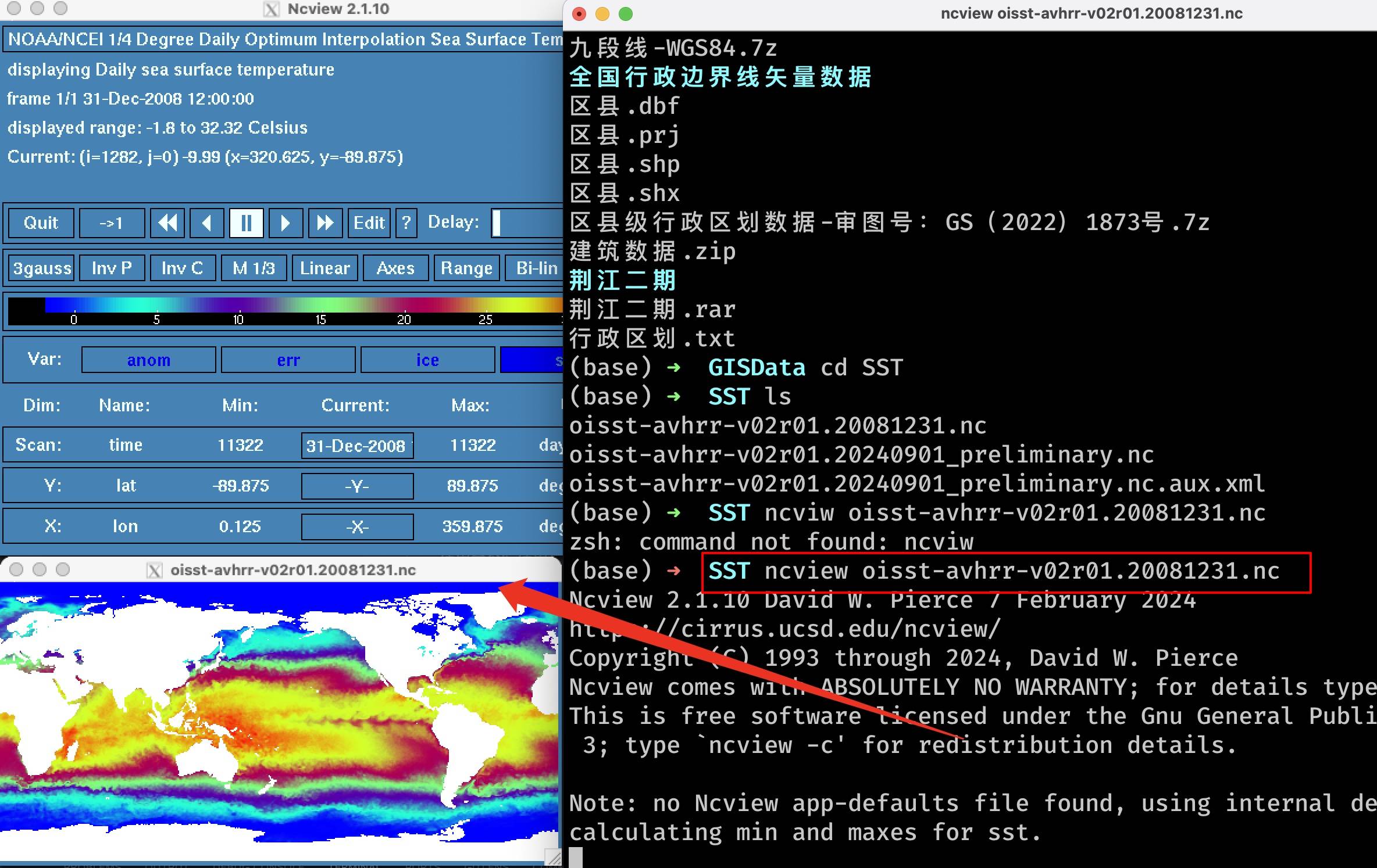
Following our previous articles on the https://malagis.com/gis-data-share-2010-2020-global-forest-ag...
 GIS Talks
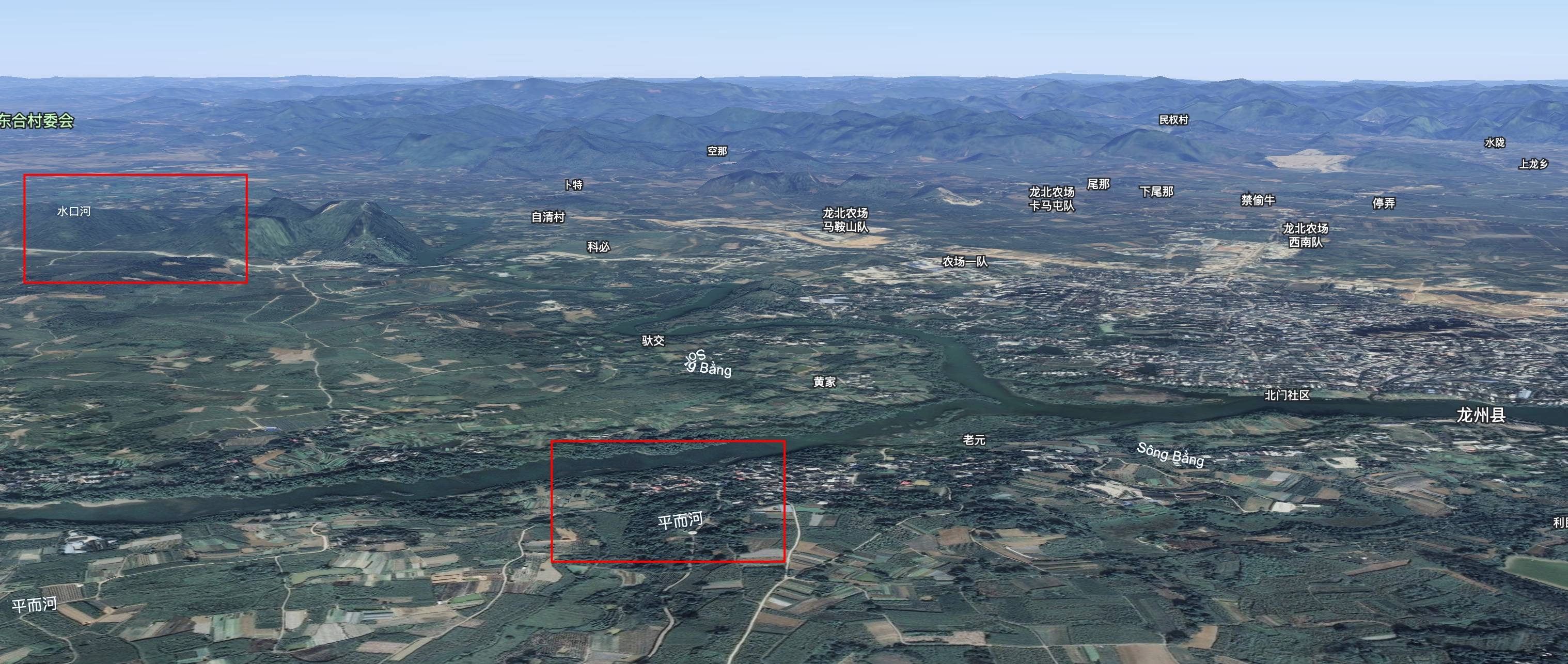
While reviewing flood reports, an unusual phenomenon caught my attention: Vietnamese ducks carried b...
 GIS News
While browsing NASA resources, I discovered an intriguing tool called "Your Name In Landsat". This c...
 GIS Tutorial
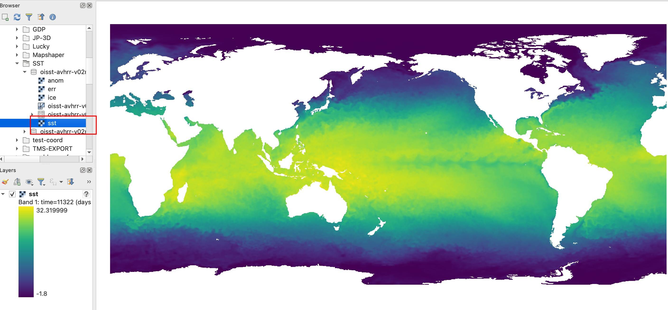
Following our previous article on the https://malagis.com/gis-data-share-2010-2020-global-forest-age...
 GIS Tutorial
TorchGeo is a PyTorch domain library, similar to torchvision, specifically designed for geospatial d...
 GIS Data
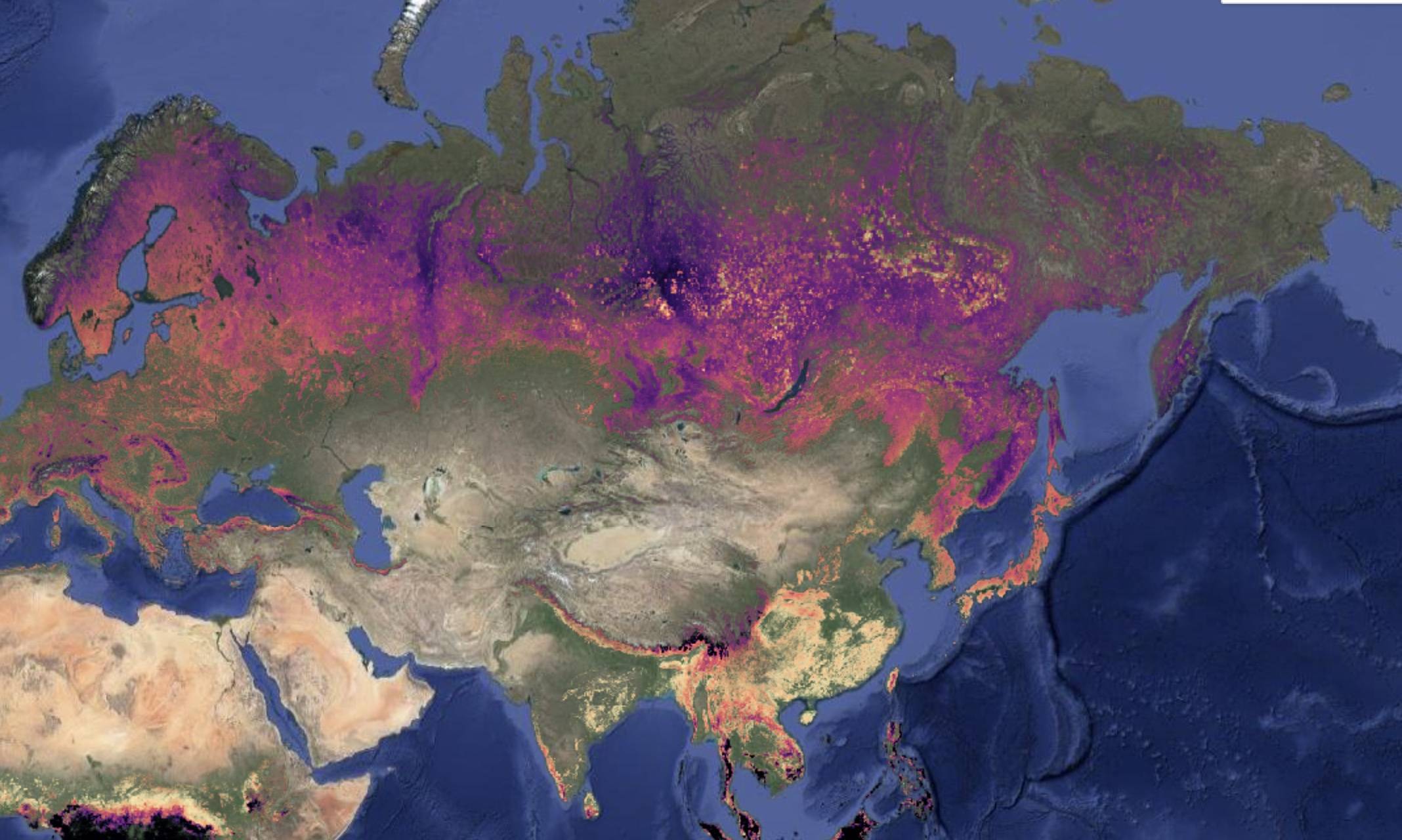
We're introducing the Global Age Mapping Integration (GAMI) dataset—a high-resolution global forest ...
 GIS Talks
Following our previous discussion on gaming cartography in 《Will "Black Myth: Wukong" Phenomenon Ush...
Copyright © 2020-2026 MalaGIS Drive by Typecho & Lingonberry Sitemap