
 GIS Tutorial
The AI-Powered Editor Revolutionizing GIS Development and Data Processing
In a previous article, I introduced a streamlined workflow using DeepSeek + QGIS (Beyond the Hype: P...
GIS Tutorial
In a previous article, I introduced a streamlined workflow using DeepSeek + QGIS (Beyond the Hype: P...
 GIS Tutorial
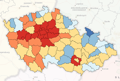
When creating thematic maps in ArcGIS or QGIS, thematic coloring (choropleth mapping) is a common te...
 GIS Tutorial
While updating to QGIS 3.40.3, I stumbled upon a surprising fact: QGIS is now 23 years old – possibl...
 GIS Tutorial
From late last year to early this year, DeepSeek has undoubtedly dominated the tech landscape. My so...
 GIS Tutorial
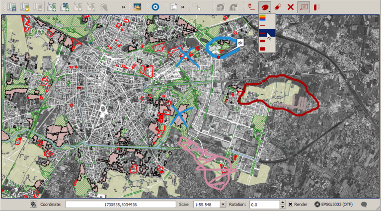
Red Layer is a sketch annotation plugin for QGIS 3 that enables rapid hand-drawn annotations directl...
 GIS Tutorial
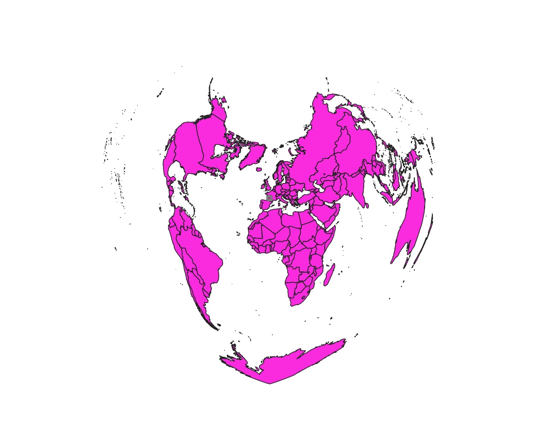
Share a WKT configuration for Bonne projection in QGIS. For those needing to apply Bonne projection ...
 GIS Tutorial
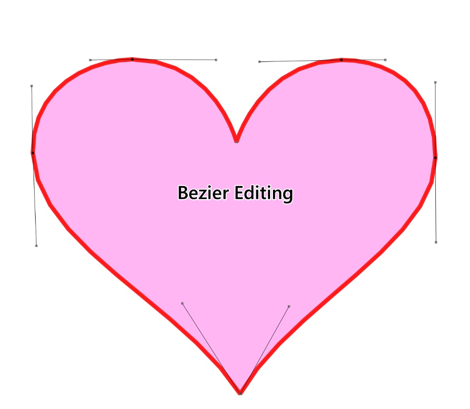
Bezier Editing is an open-source plugin for QGIS that specializes in precision vector graphic editin...
 GIS Tutorial
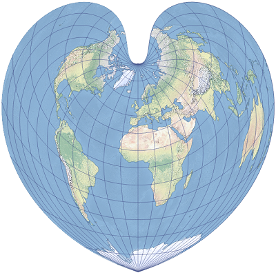
Valentine’s Day is here again, and the GIS community group at Malagis is buzzing with excitement. Wa...
 GIS Tutorial
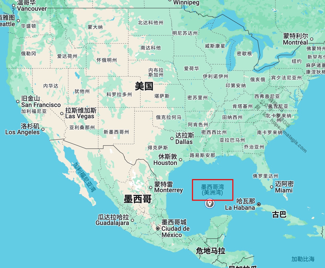
Since U.S. President Donald Trump's executive order on his first day in office renamed the Gulf of M...
 GIS Tutorial
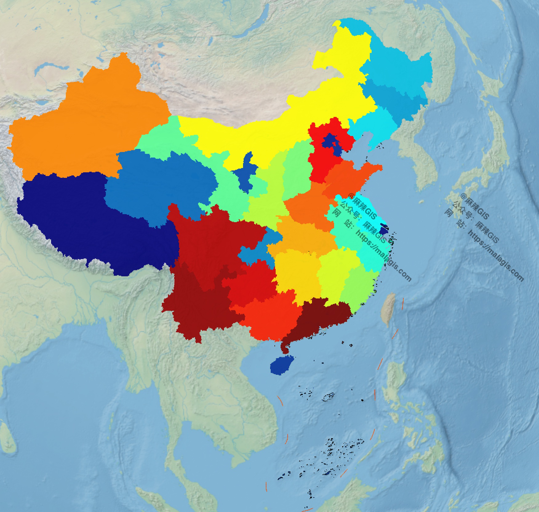
When visualizing national highway mileage across Chinese provinces in QGIS, I needed provincial capi...
Copyright © 2020-2026 MalaGIS Drive by Typecho & Lingonberry Sitemap