 GIS Data
Global Continent Boundary Datasets: A Comparative Analysis
Following my previous article "GIS Data: Global Time Zone Boundary Data (SHP Format)", several reade...
GIS Data
Following my previous article "GIS Data: Global Time Zone Boundary Data (SHP Format)", several reade...
 GIS Tutorial
As Mac gains popularity among professionals, many GIS users inquire about its suitability for geospa...
 GIS Tutorial
Geo Hound is a browser extension that automatically captures map service links from web pages and ce...
 GIS Tutorial
The QGIS development team has officially announced plans for QGIS 4.0, with an expected release in O...
 GIS Tutorial
Recently in the MalaGIS discussion group, we debated the seemingly stagnant development of GIS and t...
 GIS Tutorial
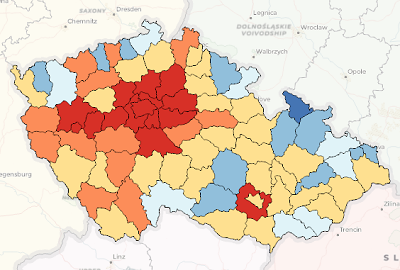
When creating thematic maps in ArcGIS or QGIS, thematic coloring (choropleth mapping) is a common te...
 GIS Tutorial
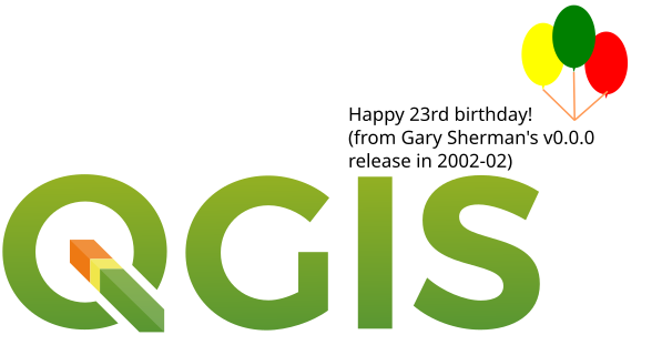
While updating to QGIS 3.40.3, I stumbled upon a surprising fact: QGIS is now 23 years old – possibl...
 GIS Tutorial
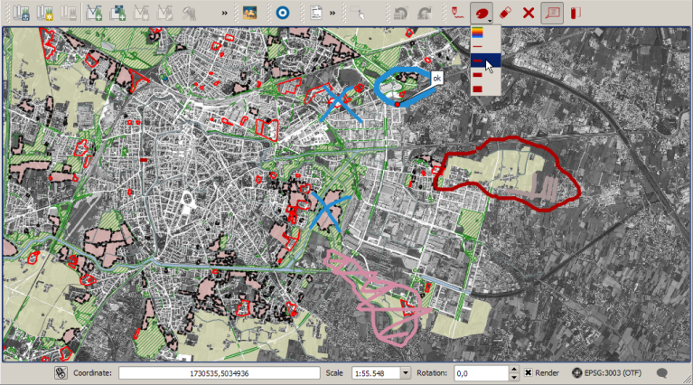
Red Layer is a sketch annotation plugin for QGIS 3 that enables rapid hand-drawn annotations directl...
 GIS Tutorial
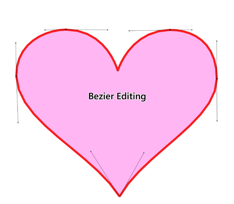
Bezier Editing is an open-source plugin for QGIS that specializes in precision vector graphic editin...
 GIS Tutorial
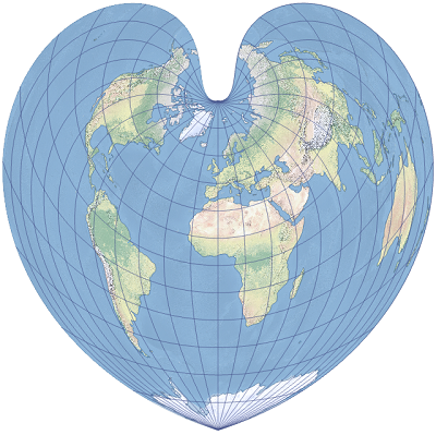
Valentine’s Day is here again, and the GIS community group at Malagis is buzzing with excitement. Wa...
Copyright © 2020-2026 MalaGIS Drive by Typecho & Lingonberry Sitemap