 GIS Tutorial
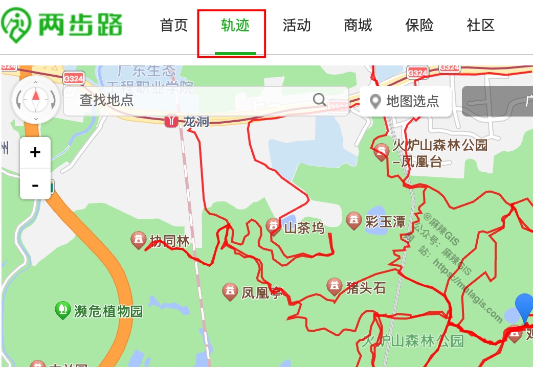
Accessing Pre-Vectorized Trail Data from China's Outdoor Platform: Two Step Road
Building upon our previous tutorials on 《Creating Dynamic Marathon Route Visualizations with MapPlus...
GIS Tutorial
Building upon our previous tutorials on 《Creating Dynamic Marathon Route Visualizations with MapPlus...
 GIS Tutorial
Following our previous article on Processing China Marathon Data for Spatial Analysis, this guide de...
 GIS Tutorial
When crafting dynamic marathon routes from official maps, directly tracing simplified route images i...
 GIS Tutorial
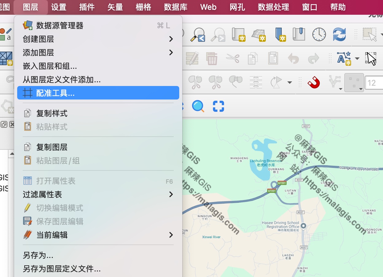
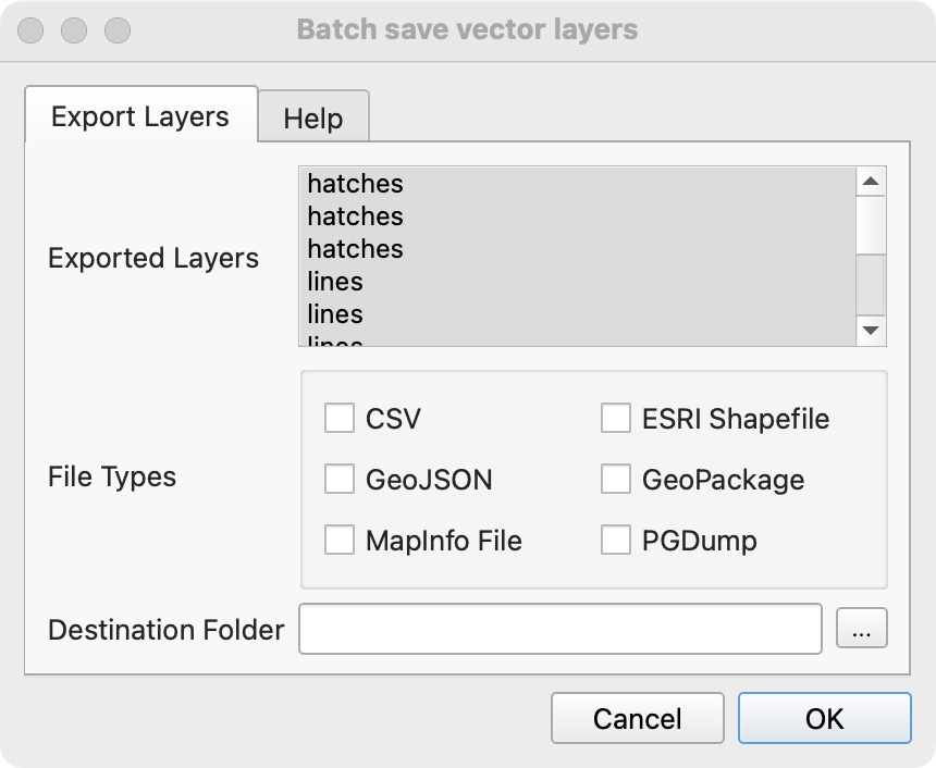
When processing DWG data in QGIS, exporting multiple layers individually becomes tedious. Here are t...
 GIS Tutorial
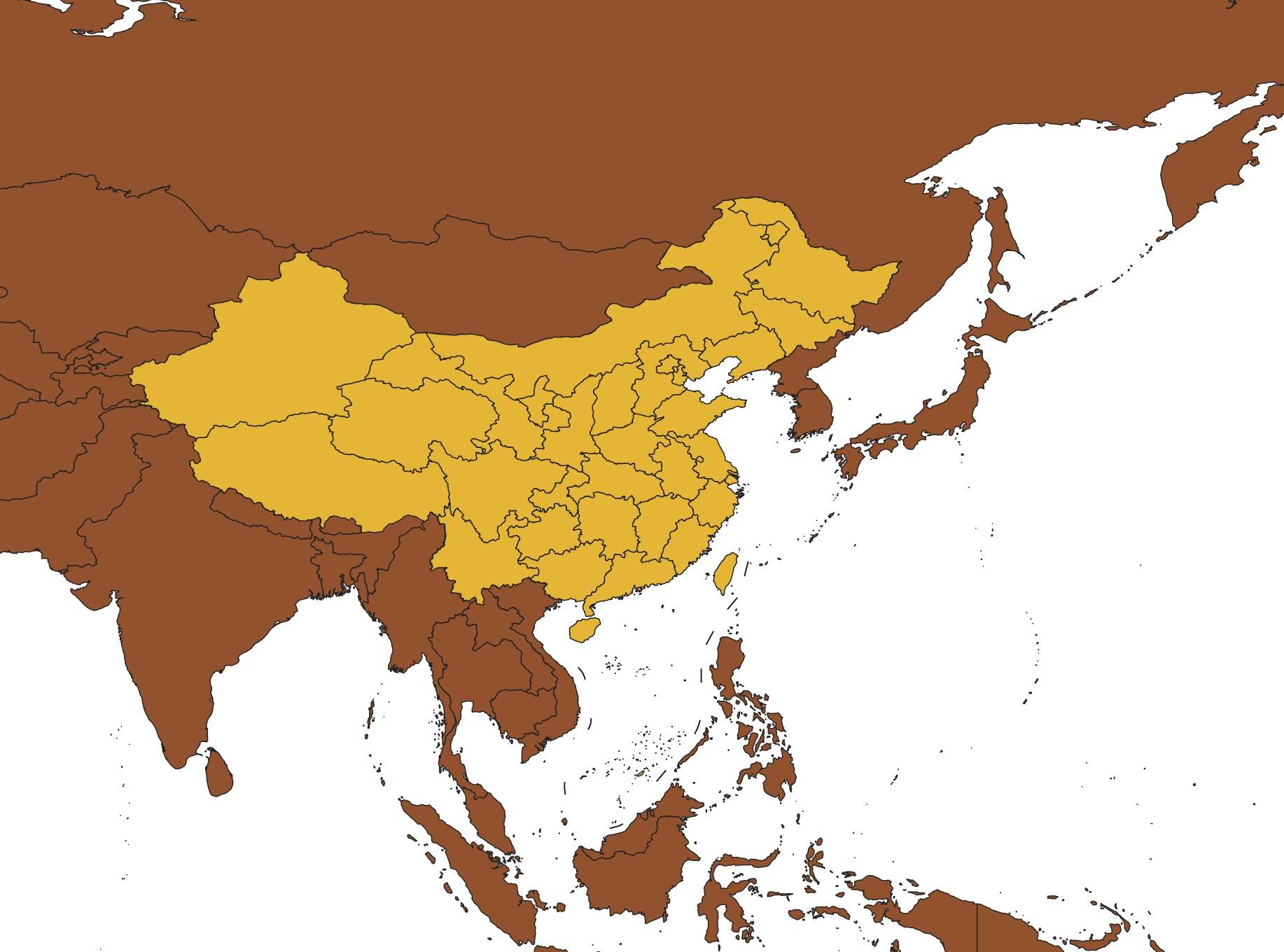
When our frontend team requested updated administrative division codes, I leveraged the 2024 nationa...
 GIS Tutorial
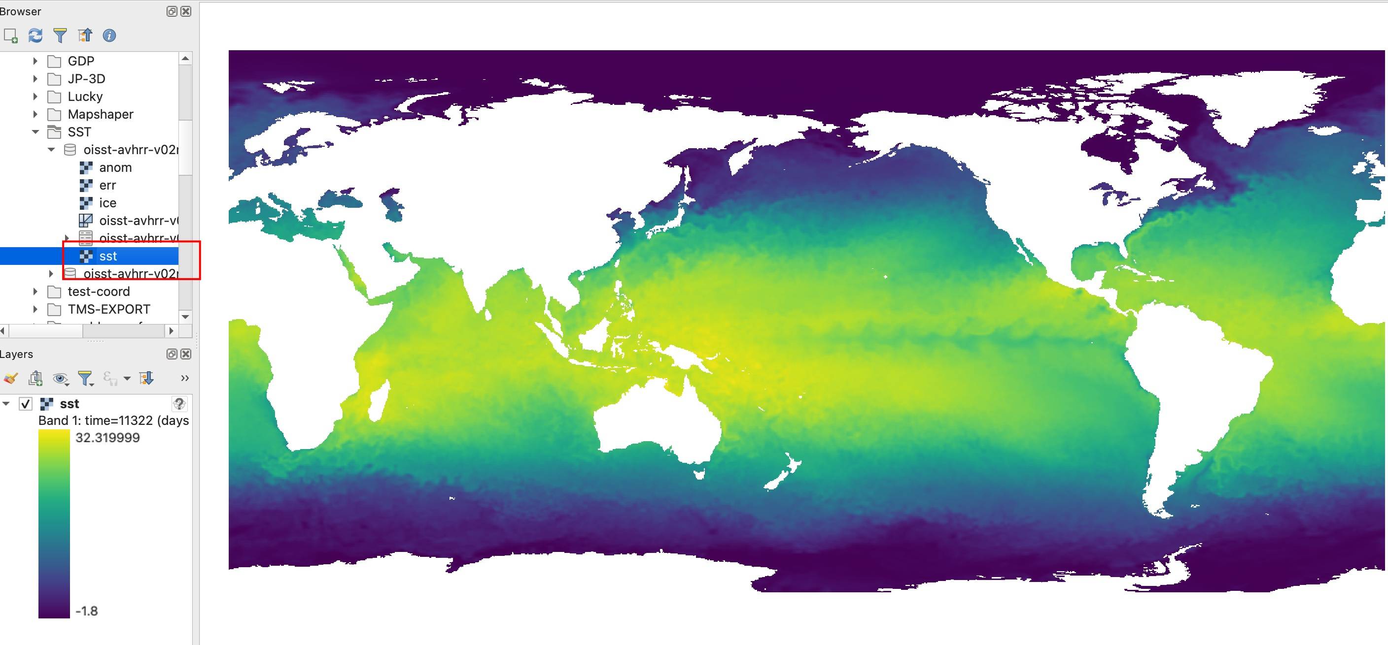
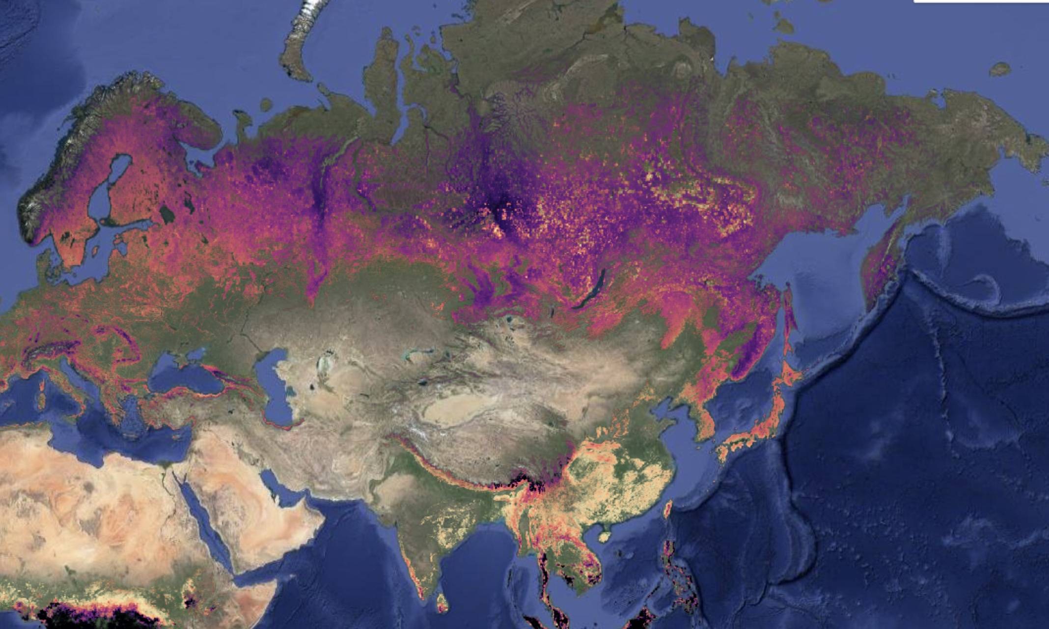
Following our previous article on the https://malagis.com/gis-data-share-2010-2020-global-forest-age...
 GIS Data
We're introducing the Global Age Mapping Integration (GAMI) dataset—a high-resolution global forest ...
 GIS Data
Following our previous article 《「GIS Data」Global Maximum Personal Income Tax Rates for 2023》, many r...
 GIS Tutorial
With the rapid development of AI technologies—such as in our earlier article A First Look at Using S...
 GIS Data
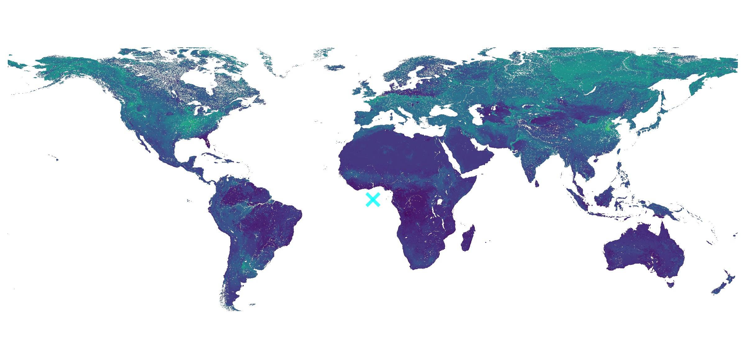
We're sharing a valuable 2023 global soil erodibility dataset acquired through complex application p...
Copyright © 2020-2026 MalaGIS Drive by Typecho & Lingonberry Sitemap