
 GIS Tutorial
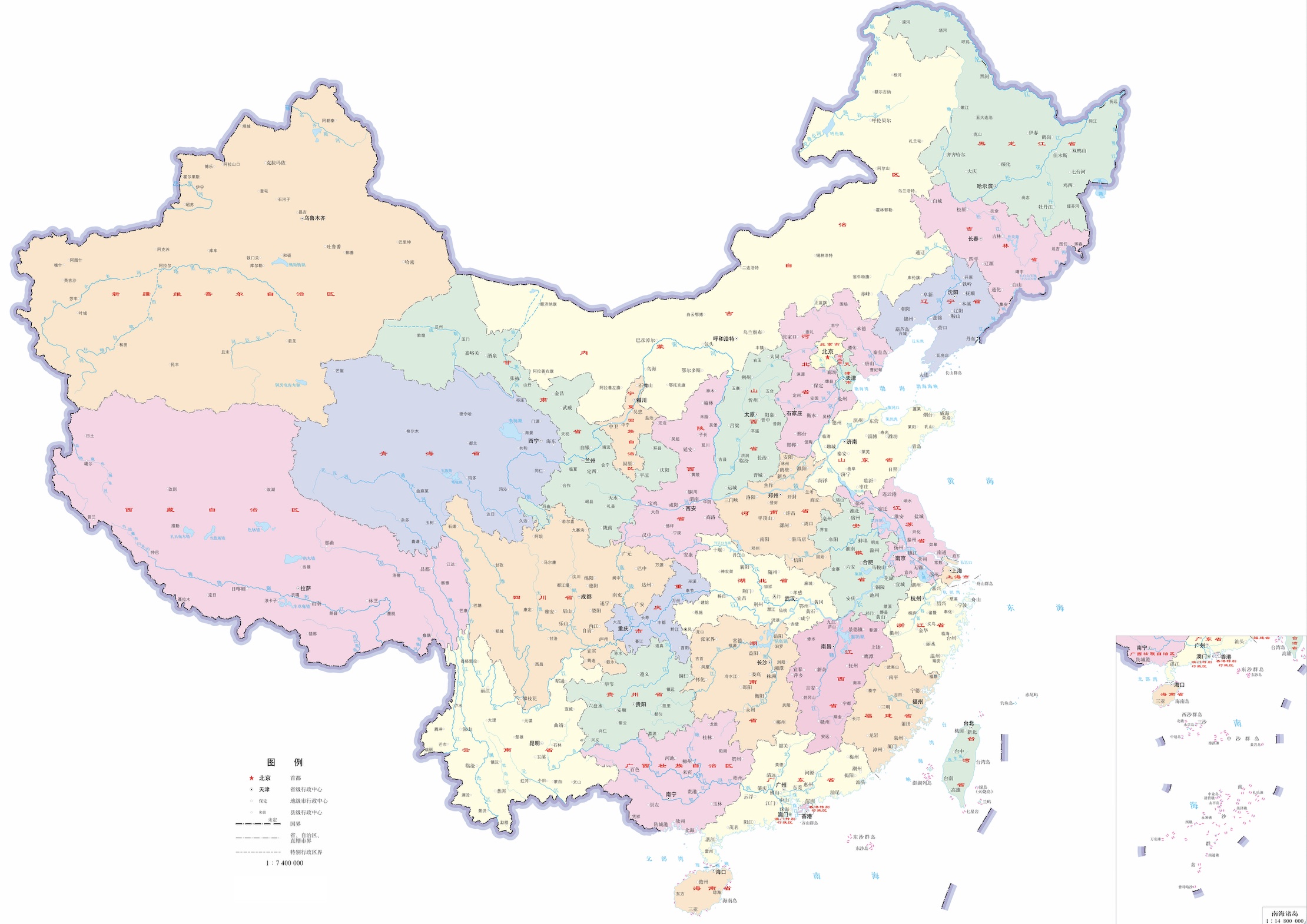
Updated 2024 Administrative Division Data with Official Approval Number GS(2024)0650
Building upon our previous sharing of district/county-level administrative division data, we now pro...
GIS Tutorial
Building upon our previous sharing of district/county-level administrative division data, we now pro...
 GIS Tutorial
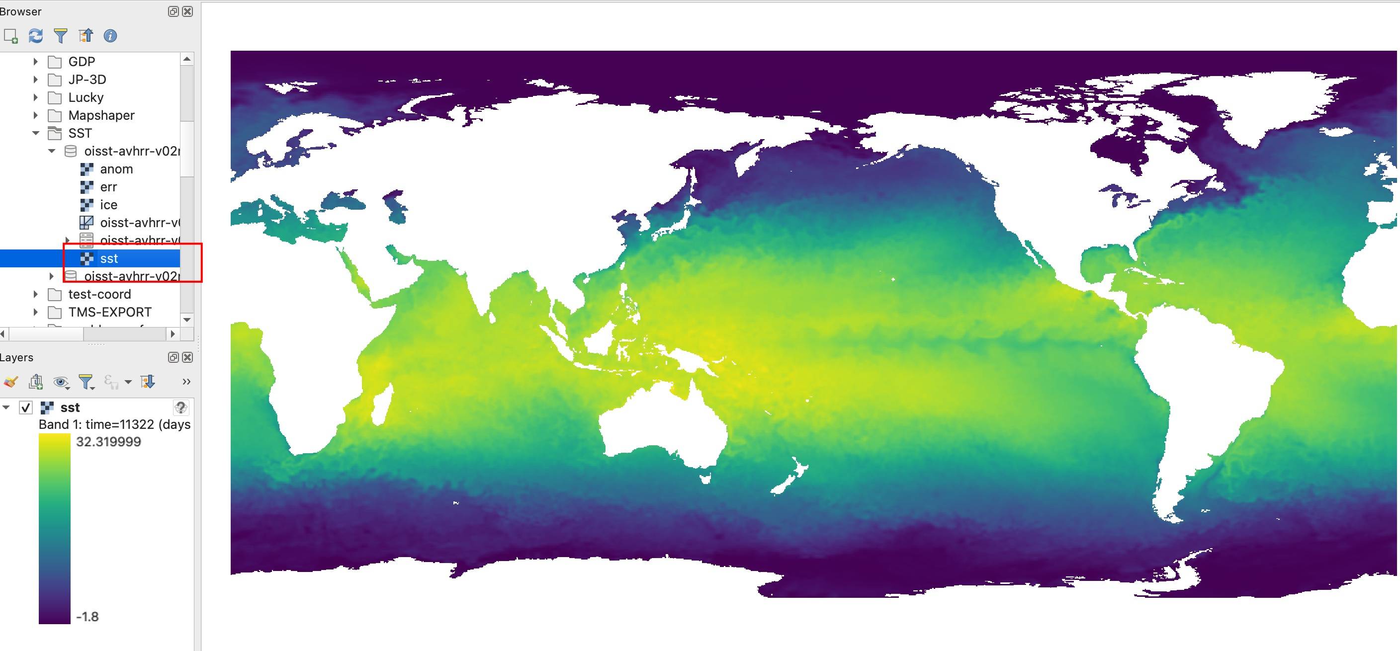
Following our previous article on the https://malagis.com/gis-data-share-2010-2020-global-forest-age...
 GIS Tutorial
TorchGeo is a PyTorch domain library, similar to torchvision, specifically designed for geospatial d...
 GIS Tutorial
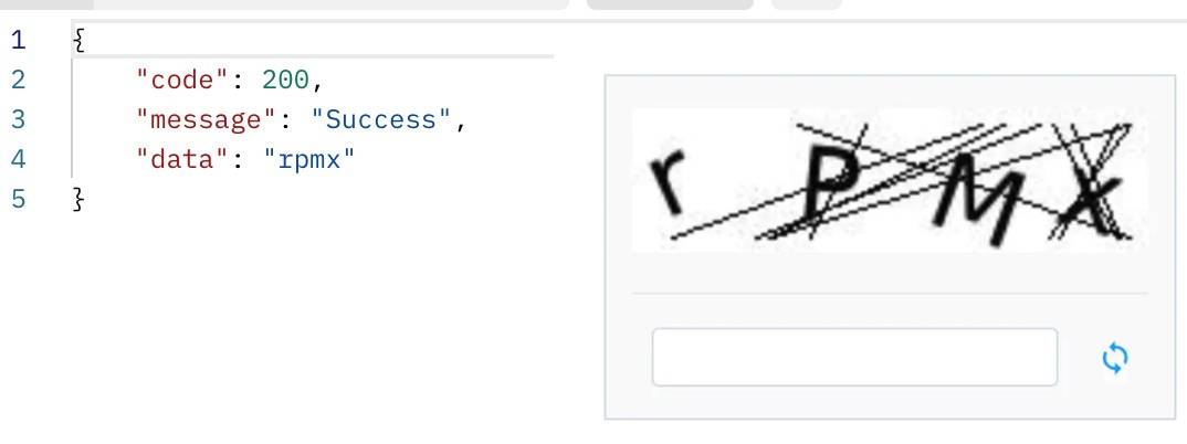
When tasked with downloading decades of monthly GIS data from a restricted website, I encountered ag...
 GIS Tutorial
Amidst China's strategic focus on secure and controllable information technology systems, the domest...
 GIS Tutorial
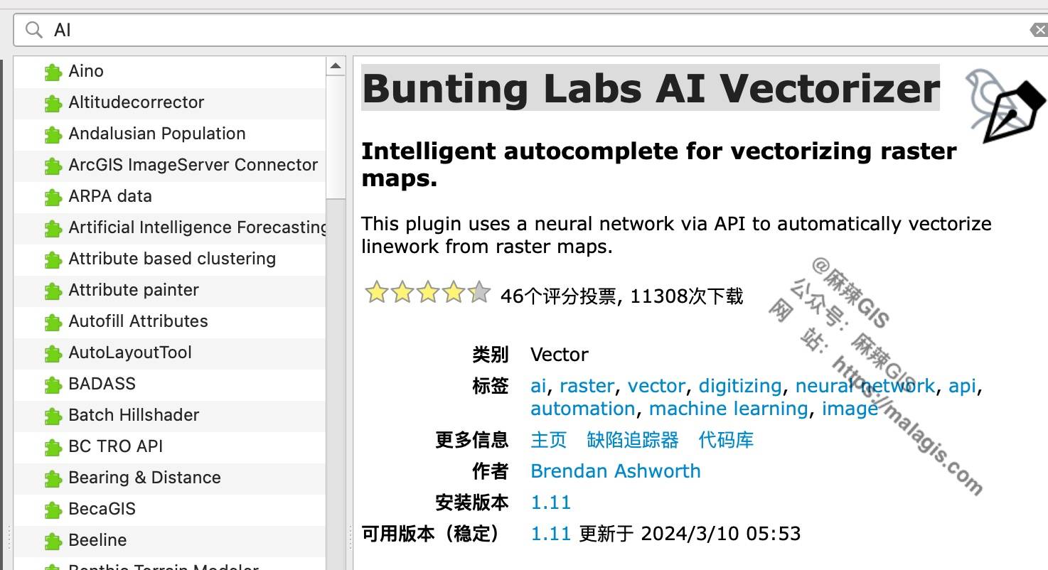
With the rapid development of AI technologies—such as in our earlier article A First Look at Using S...
 GIS Tutorial
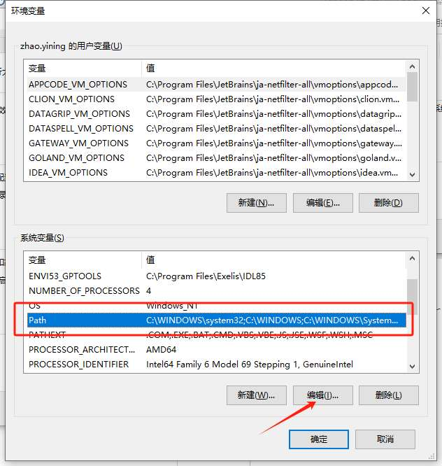
When extending ArcGIS Python functionality (e.g., using openpyxl for Excel integration), installing ...
 GIS Tutorial
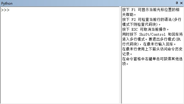
Using Python within ArcGIS requires foundational Python knowledge. The following modules support Pyt...
 GIS Tutorial
While developing a workflow involving spatial data duplication, an analyst requested help with clien...
 GIS Tutorial
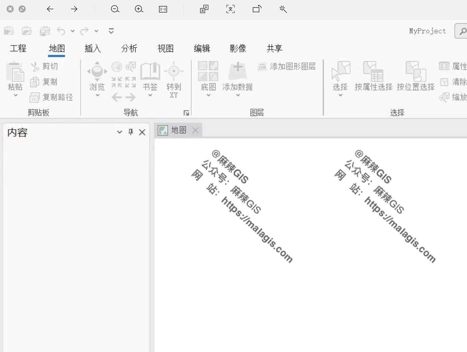
Users installing ArcGIS Pro 3.0 on Windows 11 may encounter a blank interface despite successful ins...
Copyright © 2020-2026 MalaGIS Drive by Typecho & Lingonberry Sitemap