
 GIS Tutorial
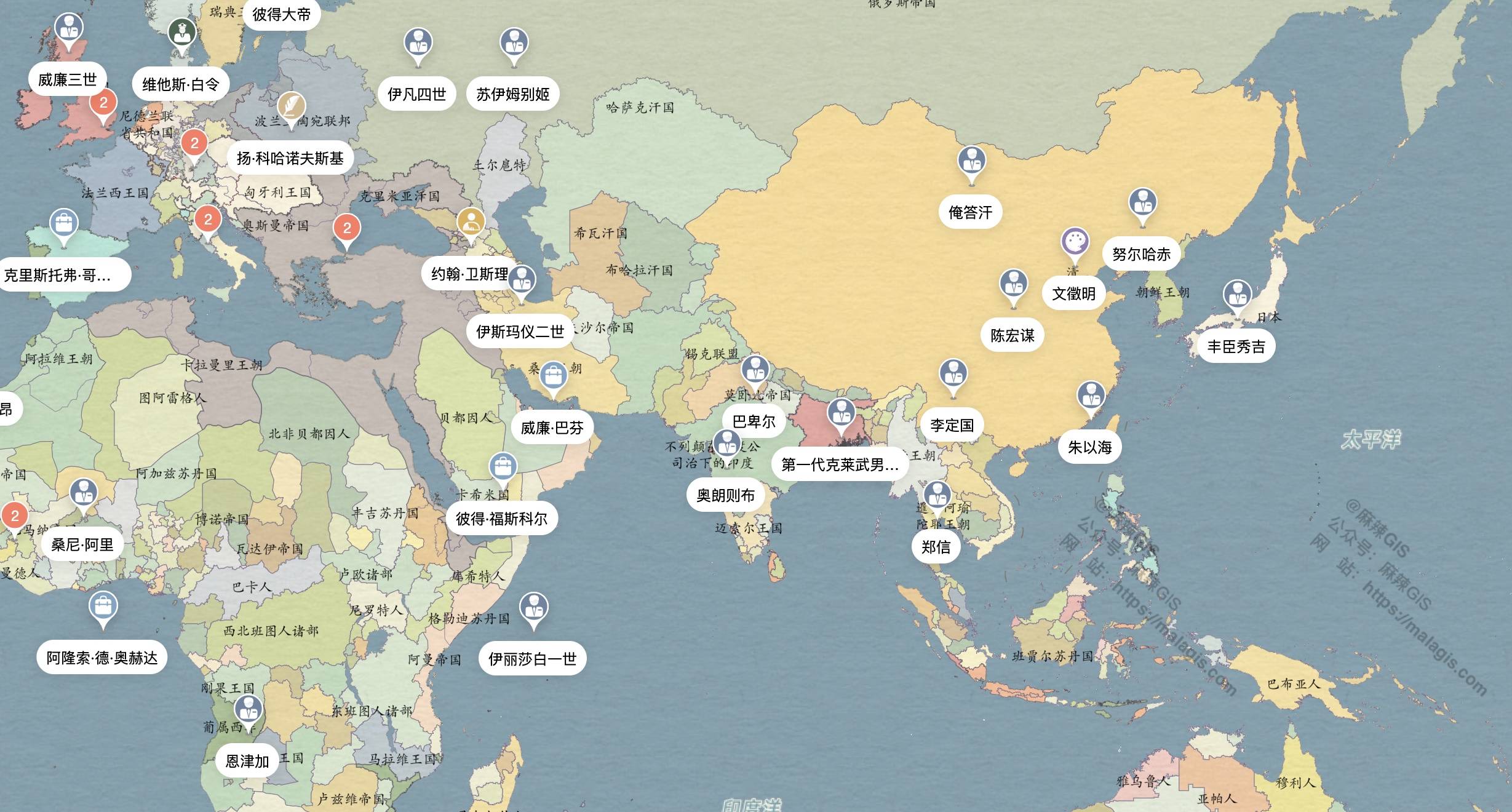
All history Map: Integrating Geography, Figures, and Events
Following our previous article 《「GIS Resource」Sharing WMTS Service for Chinese Historical Maps》, man...
GIS Tutorial
Following our previous article 《「GIS Resource」Sharing WMTS Service for Chinese Historical Maps》, man...
 GIS Tutorial
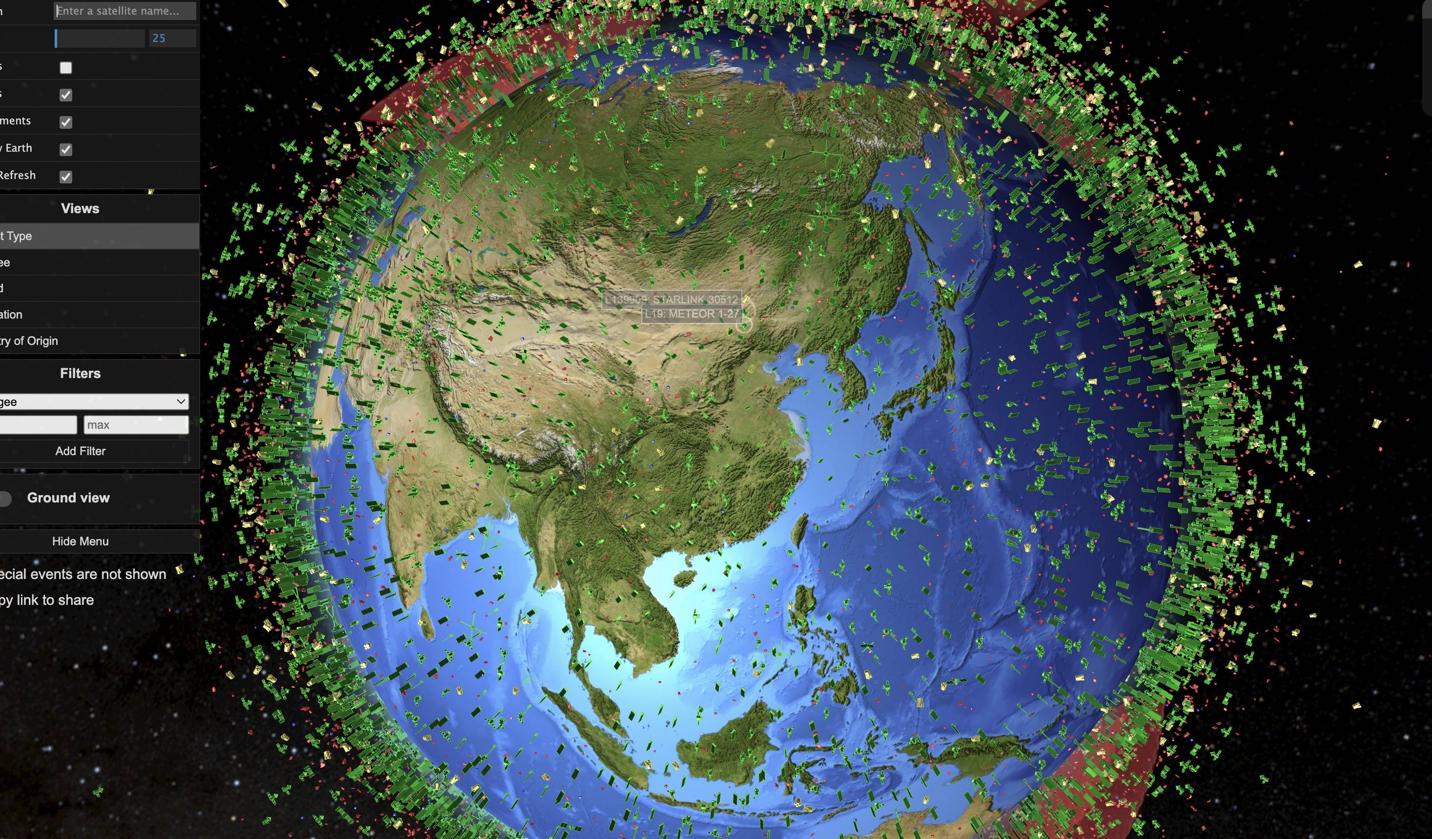
Following our previous article 《A WMTS Service for Historical Chinese Maps: How to Load in QGIS》, co...
 GIS Tutorial
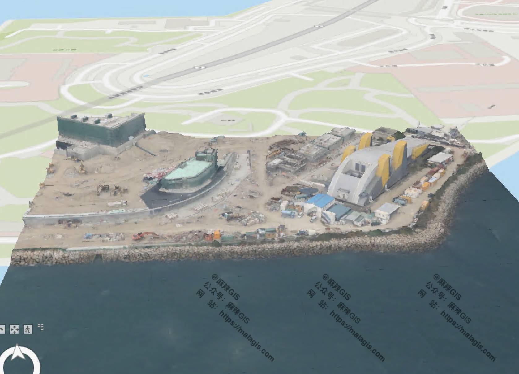
Recently, while testing OSGB data and related software, I explored using ArcGIS Pro for this purpose...
 GIS Tutorial
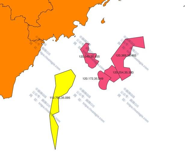
In a previous article "Adding Centroid Coordinates in QGIS Using Field Calculator", we demonstrated ...
 GIS Tutorial
When working with large SHP boundary files, exporting coordinates of specific district boundaries to...
 GIS Tutorial
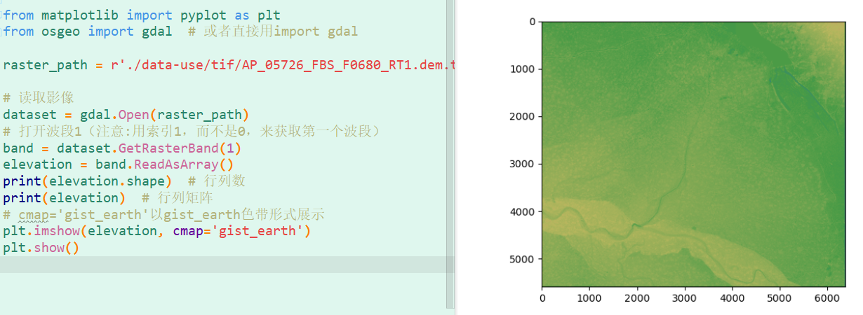
This article summarizes common Python GDAL code snippets for geospatial data processing. GDAL (Geosp...
 GIS Tutorial
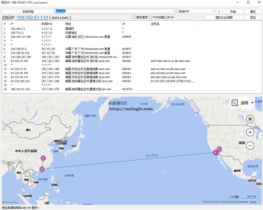
During a recent ArcGIS session, my team lead asked: "Where are ESRI's servers located?" "Probably in...
 GIS Tutorial
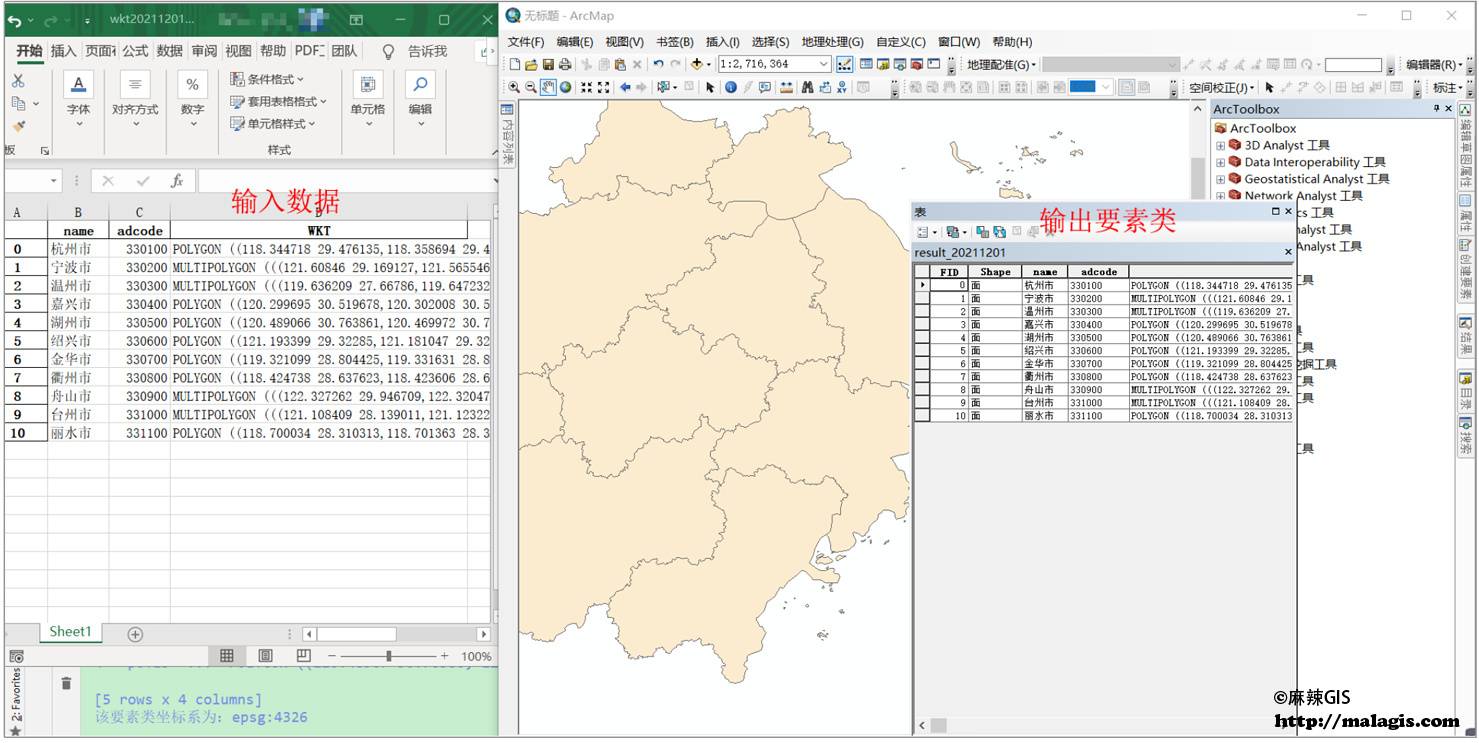
During development of a grid management system, I initially planned to use PostgreSQL for storing gr...
 GIS Tutorial
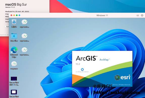
Many GIS students inadvertently purchase MacBook only to discover that ArcGIS and most domestic GIS ...
 GIS Tutorial
Yesterday in a technical group, an interesting question arose: How does Leaflet's official website a...
Copyright © 2020-2026 MalaGIS Drive by Typecho & Lingonberry Sitemap