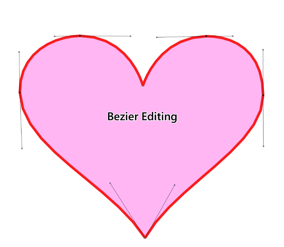
When processing DWG data in QGIS, exporting multiple layers individually becomes tedious. Here are three efficient batch export methods。
When our frontend team requested updated administrative division codes, I leveraged the 2024 national standard vector map dataset (Approval No. GS(2024) 0650) shared in our previous article. This official dataset contains accurate administrative codes within its attribute tables, making it ideal for extraction.
Following our previous article on the https://malagis.com/gis-data-share-2010-2020-global-forest-age-distribution-gami-data.html, this guide demonstrates netCDF visualization techniques in QGIS, eliminating the need for specialized tools like IDL.
We're introducing the Global Age Mapping Integration (GAMI) dataset—a high-resolution global forest age distribution resource for 2010 and 2020.
Following our previous article 《「GIS Data」Global Maximum Personal Income Tax Rates for 2023》, many readers requested guidance on visualizing the data. This guide demonstrates a rapid technique to acquire global administrative boundaries using native QGIS functionality - no plugins required.
Note: While remarkably simple, this approach requires boundary verification, particularly for China.
With the rapid development of AI technologies—such as in our earlier article A First Look at Using Segment Anything for GIS and the booming trend of generative AI—many GIS professionals might wonder: is there an AI tool that can help with vectorization tasks? The answer is yes. In this article, we will explore how to use an AI-powered plugin in QGIS to automate vectorization.
We're sharing a valuable 2023 global soil erodibility dataset acquired through complex application procedures. This resource is particularly useful for GIS researchers conducting soil erosion studies.
While processing personal income tax returns, I compiled global income tax data into a GIS-compatible CSV format suitable for mapping in ArcGIS or QGIS.
While developing a workflow involving spatial data duplication, an analyst requested help with client requirements:
① Convert individual polygons to WKT format in TXT files
② Merge multiple polygons into MultiPolygon WKT format
In a previous article "Adding Centroid Coordinates in QGIS Using Field Calculator", we demonstrated adding centroid coordinates via QGIS. This article explains the mathematical principles behind centroid calculation for polygons.
Copyright © 2020-2025 MalaGIS Drive by Typecho & Lingonberry Sitemap